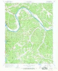
1959 Map of Bagnell
USGS Topo · Published 1969About this map
Bagnell Dam serves as the focal point of this 1959 revision, holding back the waters of the Osage River to maintain the Lake of the Ozarks. The topography reveals a landscape transitioning from the river's winding course at Wilcox Bend and Riley Bluff Island to the developed recreational and conservation areas of the Lake of the Ozarks State Park. Settlement patterns are concentrated around Bagnell, Osage Beach, and Kaiser, while the surrounding hills are marked by numerous hollows like Stilhouse Hollow and Arnold Hollow. Local history is preserved in the locations of the Fitzgerald Cem and Corvin Cem, along with rural community centers like Riverview Ch and Harmony Ch. The inclusion of the Grandglaize Fish Hatchery and a Quarry near Kaiser highlights the era's local industry and resource management.
Find a feature on this map
56 named features on this map. Tap any name to fly to it.
Don’t see what you’re looking for? This feature index may not catch every label — zoom into the map to look around manually.
Map Details
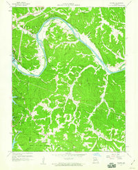
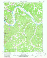
Editions of this 1959 Bagnell Map
3 editions found
Other maps of this area

1888 · Versailles
USGS Topo · 1:125,000

1888 · Tuscumbia
USGS Topo · 1:125,000

1893 · Versailles
USGS Topo · 1:125,000

1894 · Tuscumbia
USGS Topo · 1:125,000

1904 · Eldon
USGS Topo · 1:62,500

1932 · Versailles No 4
USGS Topo · 1:48,000

1933 · Iberia
USGS Topo · 1:62,500

1934 · Camdenton
USGS Topo · 1:24,000

1934 · Toronto
USGS Topo · 1:24,000

1934 · Lake Ozark
USGS Topo · 1:24,000