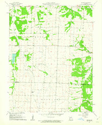
1961 Map of Bahner
USGS Topo · Published 1962About this map
Agricultural life in central Missouri is meticulously documented in this early 1960s survey, which captures the transition of rural townships like Flat Creek and Lake Creek. The settlement pattern is defined by small crossroads communities and family-named landmarks, such as Bahner and Mora. An Old Railroad Grade cuts through the western landscape near Spring Fork, indicating the path of previous transit corridors through Pettis County. Educational and spiritual centers are scattered across the section lines, including Walnut Sch and Spring Fork Ch, providing essential reference points for genealogists tracing family histories. The terrain is marked by the winding courses of Walnut Creek, Anderson Creek, and the Spring Fork Lake reservoir, which stands as a prominent geographic feature north of the Benton County line.
Find a feature on this map
23 named features on this map. Tap any name to fly to it.
Don’t see what you’re looking for? This feature index may not catch every label — zoom into the map to look around manually.
Map Details
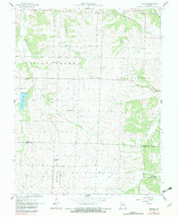
Editions of this 1961 Bahner Map
2 editions found
Other maps of this area

1887 · Sedalia
USGS Topo · 1:125,000

1887 · Warsaw
USGS Topo · 1:125,000

1894 · Warsaw
USGS Topo · 1:125,000

1894 · Sedalia
USGS Topo · 1:125,000

1944 · Sedalia West
USGS Topo · 1:24,000

1944 · Sedalia East
USGS Topo · 1:24,000

1946 · Sedalia West
USGS Topo · 1:24,000

1946 · Sedalia East
USGS Topo · 1:24,000

1947 · Jefferson City
USGS Topo · 1:250,000
1948 · Green Ridge
USGS Topo · 1:62,500