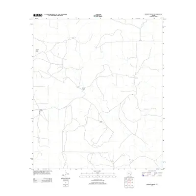
2012 Map of Bailey Draw
USGS Topo · Published 2012About this map
Devils River Draw and Bailey Draw carve through this remote section of Crockett County, defining the drainage patterns of a landscape dominated by large-scale ranching operations. The area’s geography is punctuated by established family-named properties, including Powell Ranch in the northeast and Willoughby Ranch toward the center. This 2012 survey illustrates the connectivity of these isolated homesteads via a network of local routes like Powell Rd and Co Rd 202, alongside numbered ranch roads such as 1192 and 1193. The scattered placement of Baugh Ranch and Bailey Ranch suggests a region where land use remains dedicated to traditional Texas livestock traditions, with the map recording the precise location of ranch buildings and local water features essential for life in the arid Trans-Pecos foothills.
Find a feature on this map
11 named features on this map. Tap any name to fly to it.
Don’t see what you’re looking for? This feature index may not catch every label — zoom into the map to look around manually.
Map Details
Editions of this 2012 Bailey Draw Map
This is the sole edition of this map. No revisions or reprints were ever made.
Other maps of this area

1954 · Sonora
USGS Topo · 1:250,000

1958 · Sonora
USGS Topo · 1:250,000

1964 · Oglesby Ranch
USGS Topo · 1:24,000

1964 · Coupe Ranch
USGS Topo · 1:24,000

1964 · Bailey Draw
USGS Topo · 1:24,000

1964 · Moore Ranch
USGS Topo · 1:24,000

1967 · Nolen Draw
USGS Topo · 1:24,000

1967 · Savell Ranch
USGS Topo · 1:24,000

1967 · Double Mill Draw SE
USGS Topo · 1:24,000

1967 · Crockett Heights
USGS Topo · 1:24,000