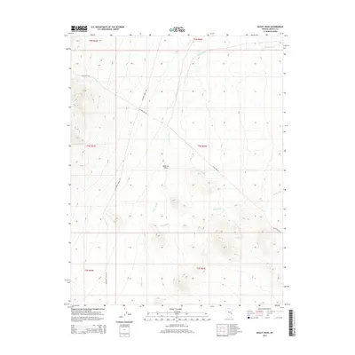
2015 Map of Bailey Wash
USGS Topo · Published 2015About this map
Muleshoe Valley defines the central landscape of this Nevada survey, serving as a broad drainage basin within Lincoln County. The area is characterized by an extensive network of dry washes that dictate the local geography, including the prominent Bailey Wash, Coyote Wash, and Maloy Wash to the north. These ephemeral waterways illustrate the hydraulic patterns of the high desert, where occasional runoff carves deep paths through the basin floor. Human presence in this arid environment is represented by a few key corridors, specifically Silver King Rd and Muleshoe Valley Rd, which follow the natural contours of the valley. The map also records the precise township and range divisions, such as t4n r64e, reflecting the systematic public land survey system used to organize this vast portion of the American West.
Find a feature on this map
12 named features on this map. Tap any name to fly to it.
Don’t see what you’re looking for? This feature index may not catch every label — zoom into the map to look around manually.
Map Details
Editions of this 2015 Bailey Wash Map
This is the sole edition of this map. No revisions or reprints were ever made.
Other maps of this area

1915 · Bristol Range
USGS Topo · 1:62,500

1917 · Bristol Range
USGS Topo · 1:62,500

1956 · Lund
USGS Topo · 1:250,000

1960 · Lund
USGS Topo · 1:250,000
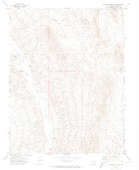
1971 · Silver King Mtn SW
USGS Topo · 1:24,000
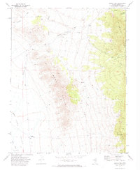
1971 · Bristol Well
USGS Topo · 1:24,000

1971 · Bailey Wash
USGS Topo · 1:24,000
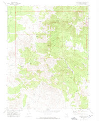
1971 · Fairview Peak
USGS Topo · 1:24,000

1971 · Silver King Mtn
USGS Topo · 1:24,000

1971 · Sidehill Pass
USGS Topo · 1:24,000