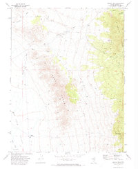
1971 Map of Bristol Well
USGS Topo · Published 1973About this map
Bristol Well serves as a historical waypoint in this high-desert landscape of Lincoln County, where the infrastructure of early mining and ranching remains visible. The presence of Charcoal Kilns near the well points to the area's industrial past, likely supporting nearby smelting operations during the late 19th-century silver booms. The terrain is defined by the massive Bristol Range to the east and the West Range to the west, separated by a series of drainage systems including Fairview Wash and Scotty Wash.
Find a feature on this map
18 named features on this map. Tap any name to fly to it.
Don’t see what you’re looking for? This feature index may not catch every label — zoom into the map to look around manually.
Map Details
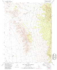
Editions of this 1971 Bristol Well Map
2 editions found
Other maps of this area

1885 · Pioche
USGS Topo · 1:250,000

1886 · Pioche
USGS Topo · 1:250,000

1915 · Bristol Range
USGS Topo · 1:62,500

1916 · Highland
USGS Topo · 1:62,500

1917 · Bristol Range
USGS Topo · 1:62,500

1918 · Highland
USGS Topo · 1:62,500

1953 · Highland Peak
USGS Topo · 1:24,000

1953 · Bristol Range SE
USGS Topo · 1:24,000

1954 · Caliente
USGS Topo · 1:250,000

1956 · Lund
USGS Topo · 1:250,000