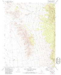
1971 Map of Bristol Well
USGS Topo · Published 1986About this map
Bristol Well serves as a focal point in this high-desert landscape of Lincoln County, where the industrial history of mining and processing is visible through various Prospects and Mine symbols. The presence of Charcoal Kilns near the Corrals suggests early metallurgy and livestock operations, while the surrounding terrain is dominated by the West Range and Bristol Range. To the west, the broad expanse of Dry Lake Valley is cut by seasonal drainages such as Silverhorn Wash and Coyote Wash. The map records a series of jeep trails weaving through Bristol Pass, connecting remote water sources like Blind Mountain Spring and Middle Reservoir. This survey provides a precise look at the 1970s land use, capturing the rugged intersection of traditional ranching and mineral exploration.
Find a feature on this map
20 named features on this map. Tap any name to fly to it.
Don’t see what you’re looking for? This feature index may not catch every label — zoom into the map to look around manually.
Map Details
Editions of this 1971 Bristol Well Map
2 editions found
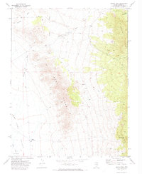
Other maps of this area

1885 · Pioche
USGS Topo · 1:250,000

1886 · Pioche
USGS Topo · 1:250,000

1915 · Bristol Range
USGS Topo · 1:62,500

1916 · Highland
USGS Topo · 1:62,500

1917 · Bristol Range
USGS Topo · 1:62,500

1918 · Highland
USGS Topo · 1:62,500

1953 · Highland Peak
USGS Topo · 1:24,000

1953 · Bristol Range SE
USGS Topo · 1:24,000

1954 · Caliente
USGS Topo · 1:250,000

1956 · Lund
USGS Topo · 1:250,000