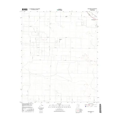
2016 Map of Baileyboro NE
USGS Topo · Published 2016About this map
Muleshoe anchors the northeastern corner of this West Texas landscape, where the agricultural grid meets the natural drainages of the Llano Estacado. The map reveals a high-plains environment defined by the broad, subtle paths of Blackwater Draw and Progress Draw, which cross the terrain among a dense network of section roads. The transition from the rural expanse of Bailey County to the town's edge is marked by a concentration of infrastructure, including Railroad Ave and several Farm to Market roads like FM 1760 and FM 746. This survey provides a clear view of the modern land-use patterns and water management features essential to this semi-arid region, documenting the local road system from Co RD 123 to the outskirts of the municipal center.
Find a feature on this map
28 named features on this map. Tap any name to fly to it.
Don’t see what you’re looking for? This feature index may not catch every label — zoom into the map to look around manually.
Map Details
Editions of this 2016 Baileyboro NE Map
This is the sole edition of this map. No revisions or reprints were ever made.
Other maps of this area

1954 · Clovis
USGS Topo · 1:250,000

1958 · Clovis
USGS Topo · 1:250,000

1962 · Muleshoe
USGS Topo · 1:24,000

1962 · Needmore
USGS Topo · 1:24,000

1962 · Stegall
USGS Topo · 1:24,000

1962 · Birdwell Ranch
USGS Topo · 1:24,000

1962 · Baileyboro NE
USGS Topo · 1:24,000

1962 · Baileyboro
USGS Topo · 1:24,000

1963 · Lariat
USGS Topo · 1:24,000

1963 · Lazbuddie SW
USGS Topo · 1:24,000