1962 Map of Needmore
USGS Topo · Published 1965About this map
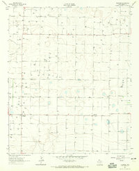
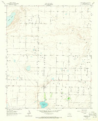
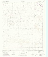
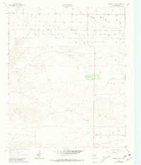
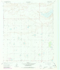
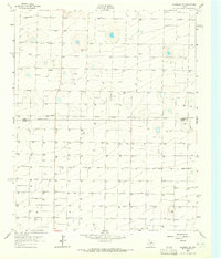
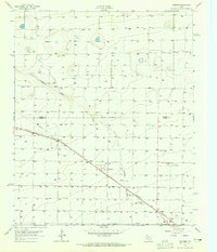
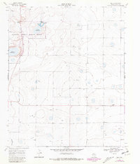
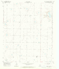
Needmore and the community of Circle Back anchor this 1962 landscape in Bailey County, Texas. This survey captures a rural agricultural district defined by an extensive network of water infrastructure, illustrated by the numerous scattered Well labels that dominate the map. The terrain is characterized by depression contours and numerous small, ephemeral basins typical of the Llano Estacado. Evidence of local communication and navigation appears at the Radio Tower Davis WT, located just west of the primary north-south route. The map is notably marked with fine red dashed lines indicating selected fence lines, providing a rare look at the specific property boundaries and land use patterns of the mid-20th-century High Plains.
Find a feature on this map
4 named features on this map. Tap any name to fly to it.
Don’t see what you’re looking for? This feature index may not catch every label — zoom into the map to look around manually.
Map Details
Editions of this 1962 Needmore Map
This is the sole edition of this map. No revisions or reprints were ever made.
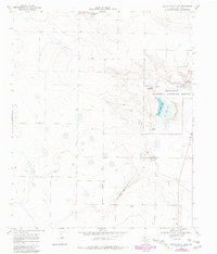
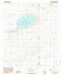
Historical Maps of Needmore Through Time
22 maps found
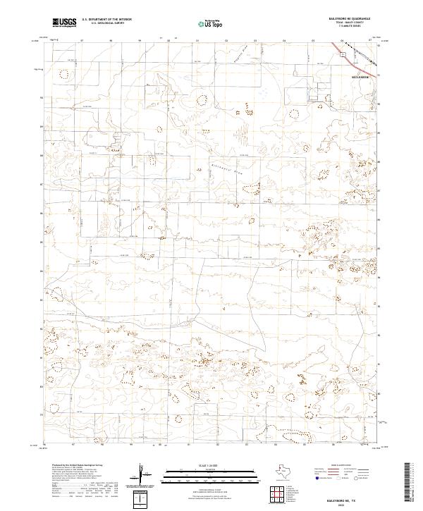
1962 Baileyboro
Bailey County, TX
1962 Baileyboro NE
Bailey County, TX
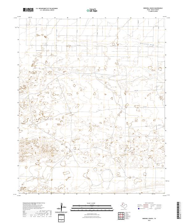
1962 Birdwell Ranch
Bailey County, TX
1962 Needmore
Bailey County, TX
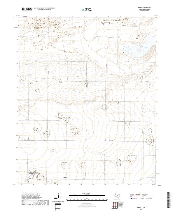
1962 Stegall
Bailey County, TX
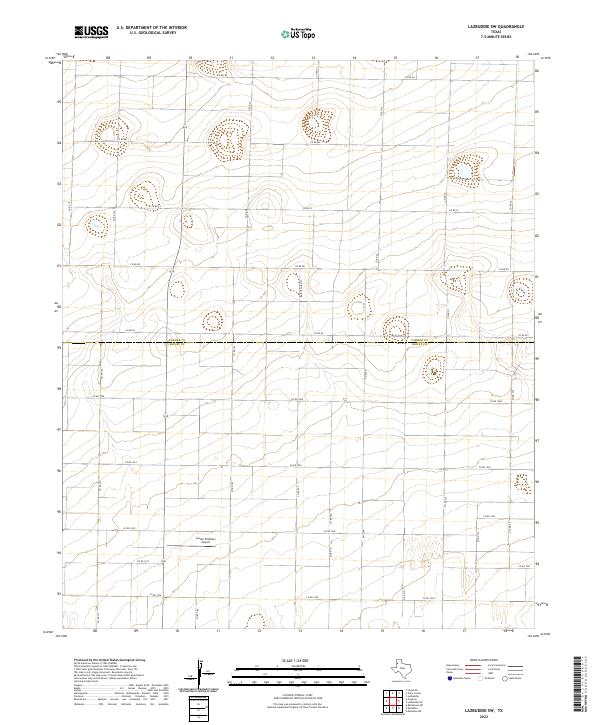
1963 Lazbuddie SW
Bailey County, TX
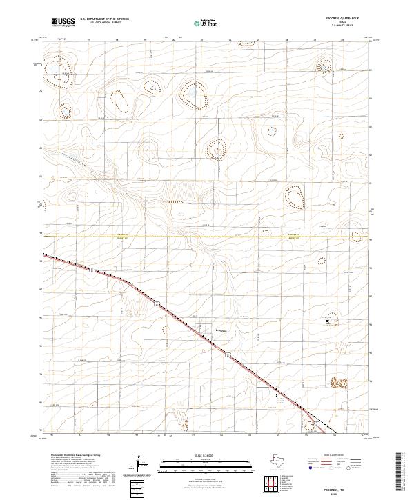
1963 Progress
Bailey County, TX
1968 Bula
Bailey County, TX
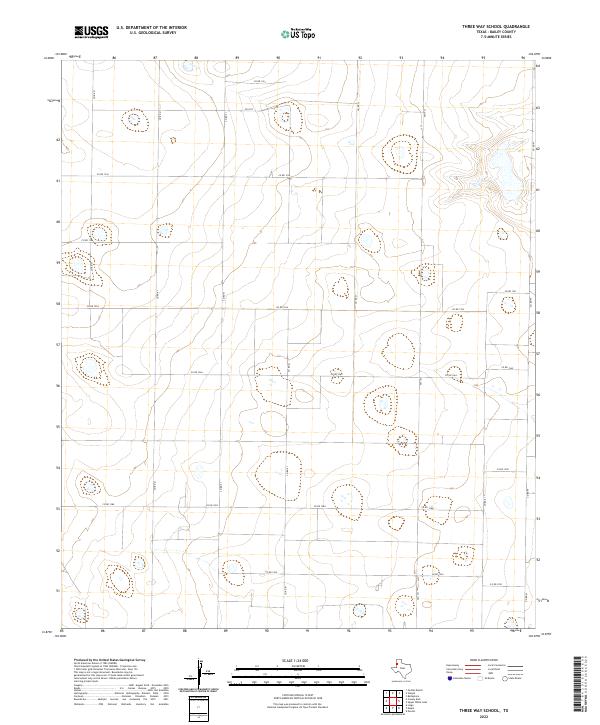
1968 Three Way School
Bailey County, TX
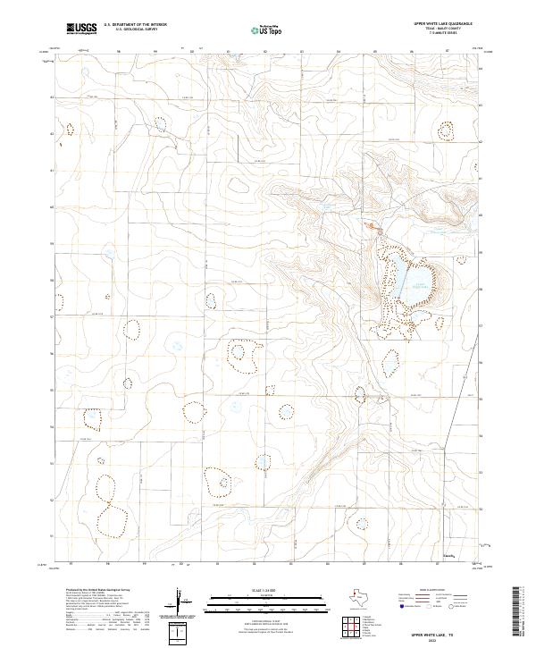
1968 Upper White Lake
Bailey County, TX
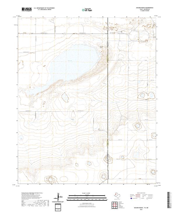
1985 Golden Ranch
Bailey County, TX
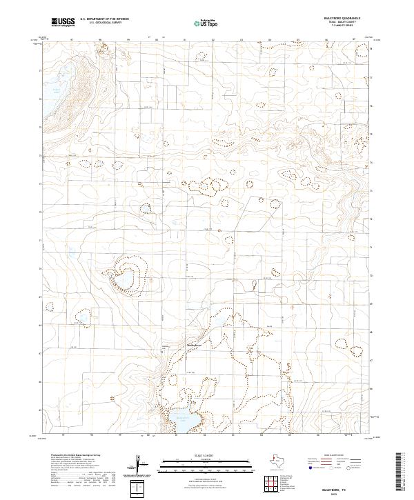
2022 Baileyboro
Bailey County, TX
2022 Baileyboro NE
Bailey County, TX
2022 Birdwell Ranch
Bailey County, TX
2022 Bula
Bailey County, TX
2022 Golden Ranch
Bailey County, TX
2022 Lazbuddie SW
Bailey County, TX
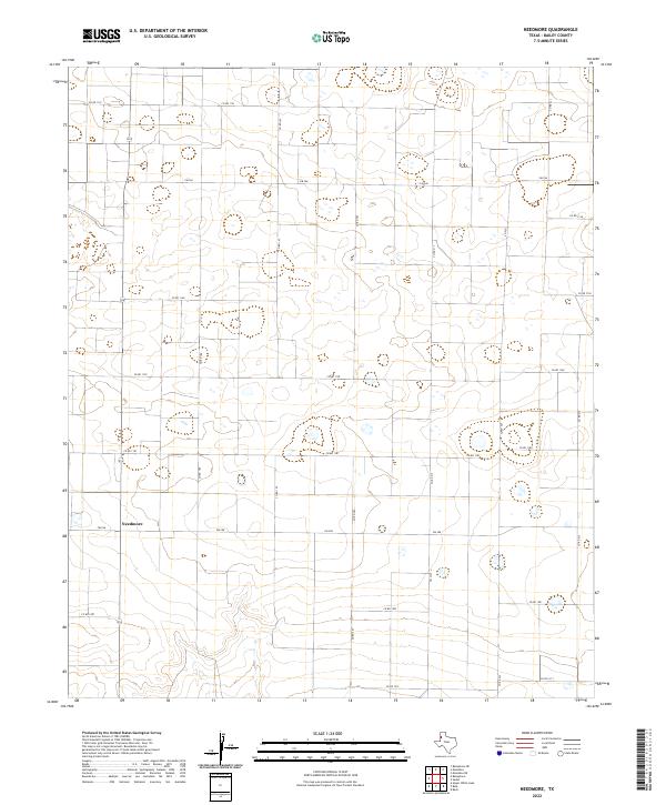
2022 Needmore
Bailey County, TX
2022 Progress
Bailey County, TX
2022 Stegall
Bailey County, TX
2022 Three Way School
Bailey County, TX
2022 Upper White Lake
Bailey County, TX