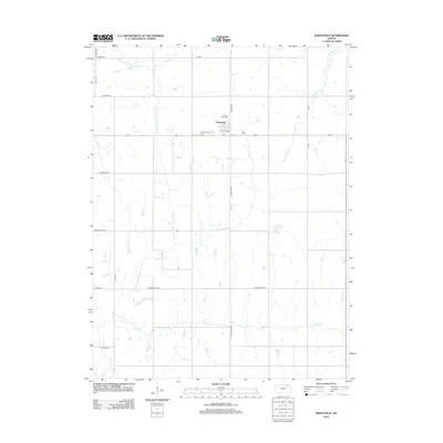
2012 Map of Baileyville
USGS Topo · Published 2012About this map
Baileyville and the southern edge of Axtell anchor this agricultural landscape in northeastern Kansas, where section roads form a rigid grid across the undulating terrain. The community of Baileyville is concentrated along Main St, serving as a local hub for the surrounding farmsteads. Cultural and genealogical significance is centered at the Sacred Heart Cem and Baileyville Cem, which reflect the long-standing settlement patterns of the area.
Find a feature on this map
23 named features on this map. Tap any name to fly to it.
Don’t see what you’re looking for? This feature index may not catch every label — zoom into the map to look around manually.
Map Details
Editions of this 2012 Baileyville Map
This is the sole edition of this map. No revisions or reprints were ever made.
Other maps of this area

1889 · Seneca
USGS Topo · 1:125,000

1894 · Seneca
USGS Topo · 1:125,000

1955 · Manhattan
USGS Topo · 1:250,000

1956 · Manhattan
USGS Topo · 1:250,000

1957 · Manhattan
USGS Topo · 1:250,000
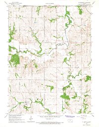
1966 · St Benedict
USGS Topo · 1:24,000
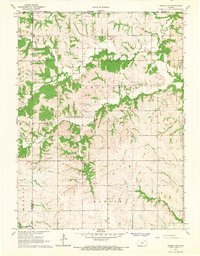
1966 · Seneca NW
USGS Topo · 1:24,000

1966 · Baileyville
USGS Topo · 1:24,000

1966 · Axtell
USGS Topo · 1:24,000
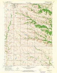
1966 · Summerfield
USGS Topo · 1:24,000