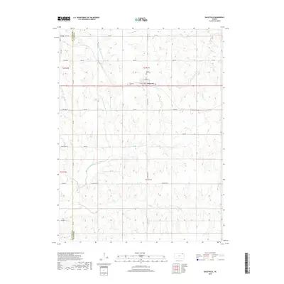
2018 Map of Baileyville
USGS Topo · Published 2018About this map
Baileyville sits at the center of this rural landscape, serving as a hub for the surrounding agricultural community along the 36 highway corridor. The village is anchored by local heritage sites including the Sacred Heart Cem and Baileyville Cem, which offer significant value for genealogical research in this portion of Nemaha County. To the northwest, the settlement of Axtell borders the Marshall County line, marking the edge of the survey area.
Find a feature on this map
31 named features on this map. Tap any name to fly to it.
Don’t see what you’re looking for? This feature index may not catch every label — zoom into the map to look around manually.
Map Details
Editions of this 2018 Baileyville Map
This is the sole edition of this map. No revisions or reprints were ever made.
Other maps of this area

1889 · Seneca
USGS Topo · 1:125,000

1894 · Seneca
USGS Topo · 1:125,000

1955 · Manhattan
USGS Topo · 1:250,000

1956 · Manhattan
USGS Topo · 1:250,000

1957 · Manhattan
USGS Topo · 1:250,000
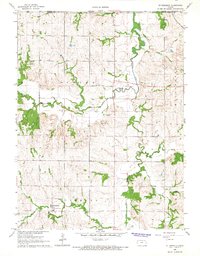
1966 · St Benedict
USGS Topo · 1:24,000
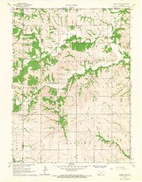
1966 · Seneca NW
USGS Topo · 1:24,000

1966 · Baileyville
USGS Topo · 1:24,000

1966 · Axtell
USGS Topo · 1:24,000
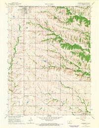
1966 · Summerfield
USGS Topo · 1:24,000