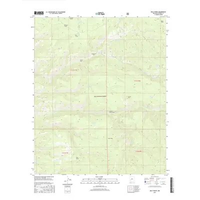
2017 Map of Baily Points
USGS Topo · Published 2017About this map
Baily Points sits at the heart of this high-elevation landscape within the Gila National Forest, where the eastern edge of the Black Range meets a complex network of canyons and draws. The survival of ranching and wildlife in this arid terrain is evidenced by a dense distribution of named water sources, including Miller Spring, Running Water Spring, and the Seventy-four Draw Well. Larger natural features like South Mesa and the prominent Round Mtn overlook a series of deep drainages such as Alexander Canyon, Whitetail Canyon, and Running Water Canyon. The presence of numerous man-made catchment points like Inman Cienega Tank and Shallow Tank along with forest roads like Co RD co53 highlight the specialized land use required to manage this portion of the forest, where water is the primary organizing principle for movement and settlement.
Find a feature on this map
32 named features on this map. Tap any name to fly to it.
Don’t see what you’re looking for? This feature index may not catch every label — zoom into the map to look around manually.
Map Details
Editions of this 2017 Baily Points Map
This is the sole edition of this map. No revisions or reprints were ever made.
Other maps of this area

1911 · Alum Mountain
USGS Topo · 1:125,000

1913 · Alum Mountain
USGS Topo · 1:125,000

1949 · Lookout Mountain
USGS Topo · 1:62,500

1954 · Tularosa
USGS Topo · 1:250,000

1954 · Clifton
USGS Topo · 1:250,000

1957 · Clifton
USGS Topo · 1:250,000

1958 · Clifton
USGS Topo · 1:250,000

1958 · Tularosa
USGS Topo · 1:250,000

1962 · Clifton
USGS Topo · 1:250,000

1963 · Bonner Canyon
USGS Topo · 1:24,000