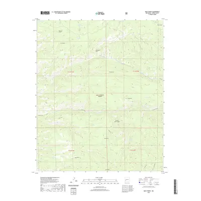
2020 Map of Baily Points
USGS Topo · Published 2020About this map
The high-elevation terrain of the Black Range dominates this portion of the Gila National Forest, where the landscape is defined by a series of significant canyons and seasonal water sources. The map provides a detailed view of the drainage systems feeding into Diamond Creek and Hoyt Creek, including the prominent Whitetail Canyon and Turkey Draw. In this arid upland environment, localized water improvements like Inman Cienega Tank, Cox Tank, and Maverick Tank are essential landmarks, often tied to legacy grazing operations within the national forest boundaries.
Find a feature on this map
33 named features on this map. Tap any name to fly to it.
Don’t see what you’re looking for? This feature index may not catch every label — zoom into the map to look around manually.
Map Details
Editions of this 2020 Baily Points Map
This is the sole edition of this map. No revisions or reprints were ever made.
Other maps of this area

1911 · Alum Mountain
USGS Topo · 1:125,000

1913 · Alum Mountain
USGS Topo · 1:125,000

1949 · Lookout Mountain
USGS Topo · 1:62,500

1954 · Tularosa
USGS Topo · 1:250,000

1954 · Clifton
USGS Topo · 1:250,000

1957 · Clifton
USGS Topo · 1:250,000

1958 · Clifton
USGS Topo · 1:250,000

1958 · Tularosa
USGS Topo · 1:250,000

1962 · Clifton
USGS Topo · 1:250,000

1963 · Bonner Canyon
USGS Topo · 1:24,000