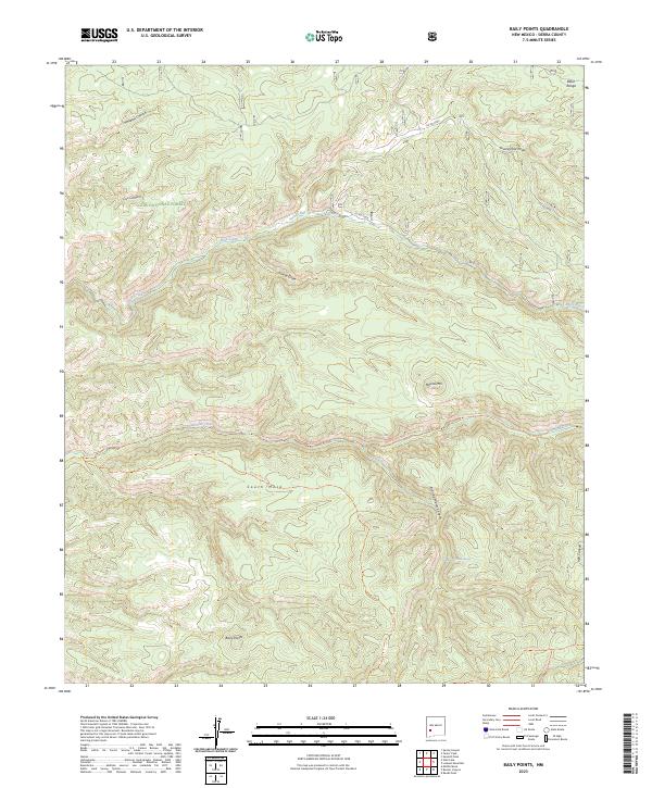
2023 Map of Baily Points
USGS Topo · Published 2023About this map
The Aldo Leopold Wilderness dominates this corner of the Gila National Forest, preserving a landscape of significant relief and complex drainage systems. High points such as Round Mtn and the namesake Baily Points provide a framework for a network of deep canyons and draws, including Hell Canyon and Whitetail Canyon. The map reveals a land defined by its water sources, with vital points like Running Water Spring and Mule Spring appearing alongside established watercourses like Diamond Creek.
Find a feature on this map
26 named features on this map. Tap any name to fly to it.
Don’t see what you’re looking for? This feature index may not catch every label — zoom into the map to look around manually.
Map Details
Editions of this 2023 Baily Points Map
This is the sole edition of this map. No revisions or reprints were ever made.
Other maps of this area

1911 · Alum Mountain
USGS Topo · 1:125,000

1913 · Alum Mountain
USGS Topo · 1:125,000

1949 · Lookout Mountain
USGS Topo · 1:62,500

1954 · Tularosa
USGS Topo · 1:250,000

1954 · Clifton
USGS Topo · 1:250,000

1957 · Clifton
USGS Topo · 1:250,000

1958 · Clifton
USGS Topo · 1:250,000

1958 · Tularosa
USGS Topo · 1:250,000

1962 · Clifton
USGS Topo · 1:250,000

1963 · Bonner Canyon
USGS Topo · 1:24,000