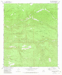
1981 Map of Baily Points
USGS Topo · Published 1981About this map
Gila National Forest encompasses this high-altitude landscape along the border of Catron and Sierra counties, defined by a complex drainage system flowing toward the Diamond Creek. The terrain is characterized by broad plateaus like South Mesa and the prominent landmark of Baily Points, separated by deeply cut seasonal watercourses. The network of canyons includes Running Water Canyon and Whitetail Canyon, illustrating the erosive patterns typical of the region's volcanic geography.
Find a feature on this map
27 named features on this map. Tap any name to fly to it.
Don’t see what you’re looking for? This feature index may not catch every label — zoom into the map to look around manually.
Map Details
Editions of this 1981 Baily Points Map
This is the sole edition of this map. No revisions or reprints were ever made.
Other maps of this area

1911 · Alum Mountain
USGS Topo · 1:125,000

1913 · Alum Mountain
USGS Topo · 1:125,000

1949 · Lookout Mountain
USGS Topo · 1:62,500

1954 · Tularosa
USGS Topo · 1:250,000

1954 · Clifton
USGS Topo · 1:250,000

1957 · Clifton
USGS Topo · 1:250,000

1958 · Clifton
USGS Topo · 1:250,000

1958 · Tularosa
USGS Topo · 1:250,000

1962 · Clifton
USGS Topo · 1:250,000

1963 · Bonner Canyon
USGS Topo · 1:24,000