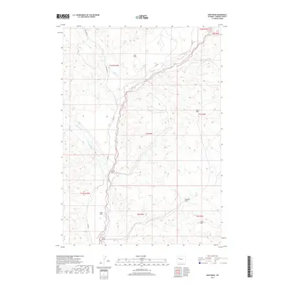
2017 Map of Bain Draw
USGS Topo · Published 2017About this map
The East Fork Wind River carves a central path through this Fremont County landscape, joined by mountain-fed tributaries including Wiggins Fork and Bear Creek. The terrain is defined by a series of significant drainage features like Lake Draw and Harvey Draw, interspersed with elevated plateaus such as Upper Table and Lower Table. Human presence is marked primarily by ranching and irrigation infrastructure, notably the Circle Ditch which redirects water across the valley floor. Transportation is limited to a handful of unpaved routes, including Bear Creek Rd and E Fork Rd, which follow the natural contours of the river valleys. This 2017 survey reflects the enduring character of Wyoming's high-country water management and topography, where named landmarks like Windmill Draw and Pease Draw serve as essential reference points in a sparsely settled environment.
Find a feature on this map
23 named features on this map. Tap any name to fly to it.
Don’t see what you’re looking for? This feature index may not catch every label — zoom into the map to look around manually.
Map Details
Editions of this 2017 Bain Draw Map
This is the sole edition of this map. No revisions or reprints were ever made.
Other maps of this area

1904 · Kirwin
USGS Topo · 1:125,000

1905 · Younts Peak
USGS Topo · 1:125,000

1906 · Kirwin
USGS Topo · 1:125,000

1907 · Younts Peak
USGS Topo · 1:125,000

1909 · Fremont Peak
USGS Topo · 1:125,000

1952 · Wilderness
USGS Topo · 1:24,000

1952 · Blue Holes
USGS Topo · 1:24,000

1955 · Thermopolis
USGS Topo · 1:250,000

1956 · Indian Point
USGS Topo · 1:24,000

1956 · Mason Draw
USGS Topo · 1:24,000