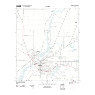
2011 Map of Bainbridge
USGS Topo · Published 2011About this map
The Flint River defines the geography of this southwest Georgia landscape, winding south through Bainbridge and into the upper reaches of Lake Seminole. The 2011 survey captures the city as a well-established regional hub, with the downtown core centered around the Bainbridge Post Office and the expansive Oak City Cemetery. Across the river, West Bainbridge serves as a distinct community connected by the Culbreth Bridge.
Find a feature on this map
73 named features on this map. Tap any name to fly to it.
Don’t see what you’re looking for? This feature index may not catch every label — zoom into the map to look around manually.
Map Details
Editions of this 2011 Bainbridge Map
This is the sole edition of this map. No revisions or reprints were ever made.
Other maps of this area

1953 · Dothan
USGS Topo · 1:250,000

1954 · Dothan
USGS Topo · 1:250,000

1954 · Tallahassee
USGS Topo · 1:250,000

1955 · Dothan
USGS Topo · 1:250,000

1955 · Bainbridge
USGS Topo · 1:62,500

1955 · Whigham
USGS Topo · 1:62,500

1959 · Tallahassee
USGS Topo · 1:250,000

1960 · Tallahassee
USGS Topo · 1:250,000

1971 · Vada
USGS Topo · 1:24,000

1974 · Boykin
USGS Topo · 1:24,000