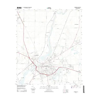
2014 Map of Bainbridge
USGS Topo · Published 2014About this map
The Flint River serves as the central artery for this Decatur County landscape, winding south past Red Bluff and West Bainbridge. The city of Bainbridge is clearly the regional hub, showing a dense grid of streets that includes the campus of Bainbridge Coll and several historic burial grounds such as Oak City Cem and Jonas Lobe Cem. To the north and east, the terrain transitions into a more rural pattern of scattered settlements like Lynn and Mount Pleasant.
Find a feature on this map
137 named features on this map. Tap any name to fly to it.
Don’t see what you’re looking for? This feature index may not catch every label — zoom into the map to look around manually.
Map Details
Editions of this 2014 Bainbridge Map
This is the sole edition of this map. No revisions or reprints were ever made.
Other maps of this area

1953 · Dothan
USGS Topo · 1:250,000

1954 · Dothan
USGS Topo · 1:250,000

1954 · Tallahassee
USGS Topo · 1:250,000

1955 · Dothan
USGS Topo · 1:250,000

1955 · Bainbridge
USGS Topo · 1:62,500

1955 · Whigham
USGS Topo · 1:62,500

1959 · Tallahassee
USGS Topo · 1:250,000

1960 · Tallahassee
USGS Topo · 1:250,000

1971 · Vada
USGS Topo · 1:24,000

1974 · Boykin
USGS Topo · 1:24,000