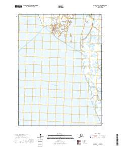
2017 Map of Baird Inlet A-1 SW
USGS Topo · Published 2017About this map
Eek Island and the surrounding delta landscape define this coastal stretch of the Bethel Census Area where the Kuskokwim River meets the Pacific Ocean. This survey reveals a complex network of tidally influenced waterways, including the Eek Channel and the southern reach of the Eek River. The terrain is characterized by expansive wetlands and shifting shorelines typical of the Yukon-Kuskokwim Delta. Landmarks like Beacon Point and the Kuskokwak Channel serve as primary navigational references in an area defined by its aquatic geography rather than human settlements. The map provides a detailed view of the Kuskokwak Creek system as it drains into the larger channels, illustrating the natural hydrological patterns of this subarctic environment before any modern industrial footprint.
Find a feature on this map
11 named features on this map. Tap any name to fly to it.
Don’t see what you’re looking for? This feature index may not catch every label — zoom into the map to look around manually.
Map Details
Editions of this 2017 Baird Inlet A-1 SW Map
This is the sole edition of this map. No revisions or reprints were ever made.
Other maps of this area

1951 · Kuskokwim Bay
USGS Topo · 1:250,000

1951 · Baird Inlet
USGS Topo · 1:250,000
1953 · Kuskokwim Bay D-2
USGS Topo · 1:63,360

1954 · Baird Inlet
USGS Topo · 1:250,000

1954 · Kuskokwim Bay
USGS Topo · 1:250,000
1954 · Baird Inlet A-1
USGS Topo · 1:63,360
1954 · Kuskokwim Bay D-1
USGS Topo · 1:63,360
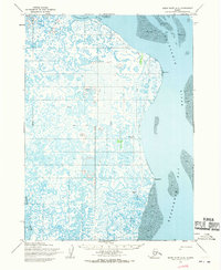
1954 · Baird Inlet A-2
USGS Topo · 1:63,360
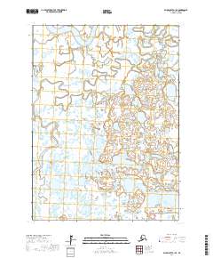
2017 · Baird Inlet A-1 SE
USGS Topo · 1:25,000
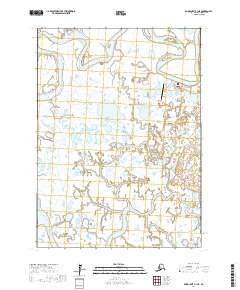
2017 · Baird Inlet A-1 NE
USGS Topo · 1:25,000