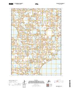
2020 Map of Baird Inlet B-6 NE
USGS Topo · Published 2020About this map
The vast, water-heavy landscape of the Dall Lake region in Southwest Alaska is defined by a complex mosaic of wetlands and tundra. This 2020 topographic record of the Baird Inlet area highlights the intricate network of unnamed ponds and smaller water bodies that surround the northern reaches of Dall Lake, illustrating a terrain almost entirely dominated by aquatic features. The survey meticulously delineates the township and range lines across this remote wilderness, including t5n r84w and t4n r84w, providing a precise grid for an otherwise amorphous wetland environment. The map offers a clear view of the hydrological patterns and low-lying landforms before they shift toward the larger inlet systems of the Bethel Census Area.
Find a feature on this map
7 named features on this map. Tap any name to fly to it.
Don’t see what you’re looking for? This feature index may not catch every label — zoom into the map to look around manually.
Map Details
Editions of this 2020 Baird Inlet B-6 NE Map
This is the sole edition of this map. No revisions or reprints were ever made.
Other maps of this area

1951 · Baird Inlet
USGS Topo · 1:250,000
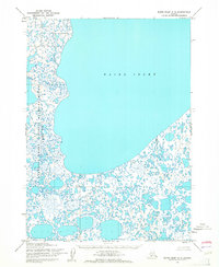
1953 · Baird Inlet C-5
USGS Topo · 1:63,360
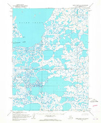
1953 · Baird Inlet C-6
USGS Topo · 1:63,360

1953 · Baird Inlet B-5
USGS Topo · 1:63,360

1954 · Baird Inlet
USGS Topo · 1:250,000

1954 · Baird Inlet B-6
USGS Topo · 1:63,360
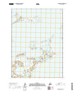
2020 · Baird Inlet B-5 SW
USGS Topo · 1:25,000
2020 · Baird Inlet B-5 NW
USGS Topo · 1:25,000
2020 · Baird Inlet C-5 SW
USGS Topo · 1:25,000
2020 · Baird Inlet B-6 NW
USGS Topo · 1:25,000