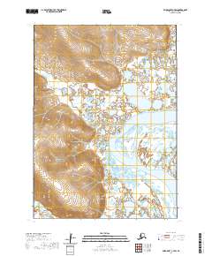
2020 Map of Baird Inlet C-7 SW
USGS Topo · Published 2020About this map
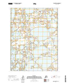
Talarhun River winds through the northern portion of this Yukon-Kuskokwim Delta landscape, illustrating the complex hydrography of the Bethel Census Area. The terrain is defined by an intricate network of wetlands and small water bodies that surround Emperor Island, a prominent land feature situated between major drainages. To the southeast, the flow of Chungeelik Cr moves through the low-lying reaches, while the Urumangnak River appears in the northeastern corner of the quadrangle. This 2020 survey, utilizing data from the National Hydrography Dataset and National Elevation Dataset, captures the subtle shifts in elevation and water patterns across townships such as t6n r87w and t5n r87w. The map provides a precise record of this subarctic environment, where river channels and seasonal water levels dictate the character of the island and surrounding tundra.
Find a feature on this map
8 named features on this map. Tap any name to fly to it.
Don’t see what you’re looking for? This feature index may not catch every label — zoom into the map to look around manually.
Map Details
Editions of this 2020 Baird Inlet C-7 SW Map
This is the sole edition of this map. No revisions or reprints were ever made.
Other maps of this area

1951 · Baird Inlet
USGS Topo · 1:250,000

1954 · Baird Inlet C-7
USGS Topo · 1:63,360

1954 · Baird Inlet
USGS Topo · 1:250,000

1954 · Baird Inlet B-7
USGS Topo · 1:63,360

1954 · Baird Inlet C-8
USGS Topo · 1:63,360

1954 · Baird Inlet B-8
USGS Topo · 1:63,360
2020 · Baird Inlet C-7 SE
USGS Topo · 1:25,000
2020 · Baird Inlet C-7 NE
USGS Topo · 1:25,000
2020 · Baird Inlet C-8 SE
USGS Topo · 1:25,000
2020 · Baird Inlet B-7 NE
USGS Topo · 1:25,000