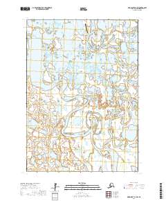
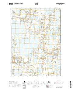
2017 Map of Baird Inlet D-1 SW
USGS Topo · Published 2017About this map
Atmautluak serves as the central focal point of this 2017 survey, situated within a complex aquatic landscape of the Yukon-Kuskokwim Delta. The settlement is positioned near the Pikmiktalik River and the expansive Nunavakanukakslak Lake, illustrating the traditional reliance on riverine systems for transportation and subsistence in this part of Alaska. Connectivity to the wider region is maintained via the Atmautluak Airport, which is prominently marked on the northern edge of the village. The map detail highlights a labyrinth of meandering waterways, including the Johnson River, which winds through the southern portion of the quadrangle. This geography reveals the fluid nature of the terrain, where land and water are inextricably linked, defining the physical footprint and isolation of this rural community in the early 21st century.
Find a feature on this map
9 named features on this map. Tap any name to fly to it.
Don’t see what you’re looking for? This feature index may not catch every label — zoom into the map to look around manually.
Map Details
Editions of this 2017 Baird Inlet D-1 SW Map
This is the sole edition of this map. No revisions or reprints were ever made.
Other maps of this area

1951 · Baird Inlet
USGS Topo · 1:250,000

1954 · Baird Inlet
USGS Topo · 1:250,000
1954 · Baird Inlet C-1
USGS Topo · 1:63,360
1954 · Baird Inlet D-1
USGS Topo · 1:63,360
1954 · Baird Inlet C-2
USGS Topo · 1:63,360
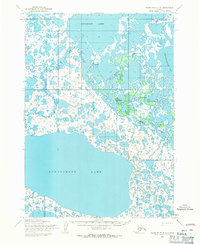
1954 · Baird Inlet D-2
USGS Topo · 1:63,360
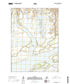
2017 · Baird Inlet C-1 NE
USGS Topo · 1:25,000
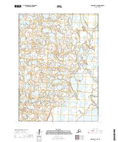
2017 · Baird Inlet C-1 NW
USGS Topo · 1:25,000
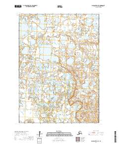
2017 · Baird Inlet D-1 SE
USGS Topo · 1:25,000
2017 · Baird Inlet D-1 NE
USGS Topo · 1:25,000