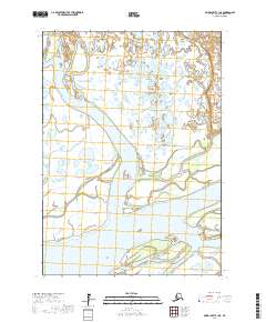
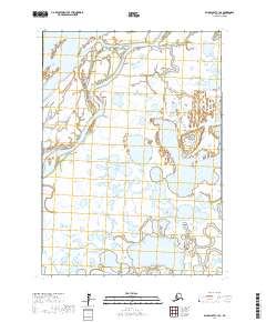
2017 Map of Baird Inlet C-1 NE
USGS Topo · Published 2017About this map
The Kuskokwim River dominates this southwestern Alaskan landscape, where the shifting hydrology of the Bethel Census Area defines the terrain. The northern reaches are characterized by the winding Kongeruk River, while the central portion is carved by the broad path of the Johnson River. This topographic record provides a snapshot of the complex wetland systems and watercourses before they naturally migrate across the tundra. Near the southern boundary, the Lomavik Slough branches away from the primary river system, illustrating the intricate drainage patterns typical of the region. The absence of roads or established settlements emphasizes the wilderness character of the area, where travel and life are governed by the seasonal flow of these major waterways.
Find a feature on this map
10 named features on this map. Tap any name to fly to it.
Don’t see what you’re looking for? This feature index may not catch every label — zoom into the map to look around manually.
Map Details
Editions of this 2017 Baird Inlet C-1 NE Map
This is the sole edition of this map. No revisions or reprints were ever made.
Other maps of this area

1950 · Bethel
USGS Topo · 1:250,000

1951 · Baird Inlet
USGS Topo · 1:250,000

1954 · Bethel D-8
USGS Topo · 1:63,360

1954 · Bethel C-8
USGS Topo · 1:63,360

1954 · Baird Inlet
USGS Topo · 1:250,000
1954 · Baird Inlet C-1
USGS Topo · 1:63,360
1954 · Baird Inlet D-1
USGS Topo · 1:63,360

1980 · Bethel
USGS Topo · 1:250,000
2017 · Baird Inlet C-1 SW
USGS Topo · 1:25,000
2017 · Baird Inlet C-1 SE
USGS Topo · 1:25,000