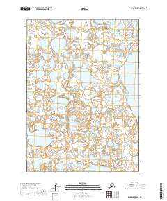
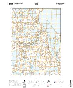
2017 Map of Baird Inlet D-3 SE
USGS Topo · Published 2017About this map
The vast, aqueous landscape of the Nunavakpak Lake region defines this portion of the Bethel Census Area. This terrain, characterized by a complex network of wetlands and small water bodies, reflects the typical hydrography of the Alaskan tundra. The map details the Public Land Survey System divisions, including t9n r77w, t9n r76w, t8n r78w, and t8n r77w, which provide essential spatial context for this part of the delta. This 2017 survey by the U.S. Geological Survey utilizes elevation data and imagery to trace the subtle contours and expansive shoreline of this remote lake system.
Find a feature on this map
5 named features on this map. Tap any name to fly to it.
Don’t see what you’re looking for? This feature index may not catch every label — zoom into the map to look around manually.
Map Details
Editions of this 2017 Baird Inlet D-3 SE Map
This is the sole edition of this map. No revisions or reprints were ever made.
Other maps of this area

1951 · Baird Inlet
USGS Topo · 1:250,000

1954 · Baird Inlet
USGS Topo · 1:250,000
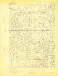
1954 · Baird Inlet C-2
USGS Topo · 1:63,360
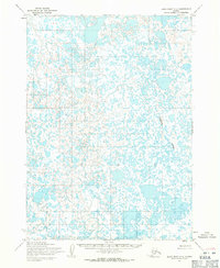
1954 · Baird Inlet C-3
USGS Topo · 1:63,360
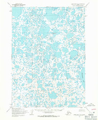
1954 · Baird Inlet D-3
USGS Topo · 1:63,360
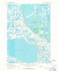
1954 · Baird Inlet D-2
USGS Topo · 1:63,360
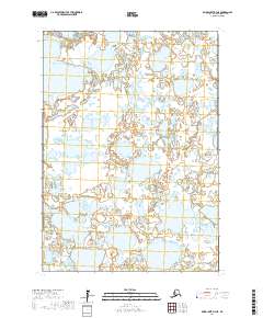
2017 · Baird Inlet D-3 NE
USGS Topo · 1:25,000
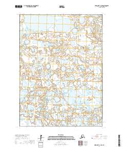
2017 · Baird Inlet C-2 NW
USGS Topo · 1:25,000
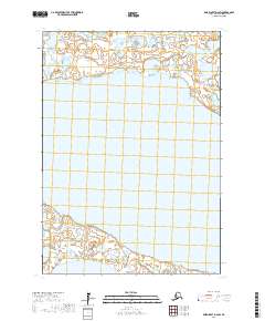
2017 · Baird Inlet D-2 SW
USGS Topo · 1:25,000
2017 · Baird Inlet D-2 NW
USGS Topo · 1:25,000