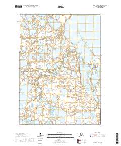
2017 Map of Baird Inlet D-2 NW
USGS Topo · Published 2017About this map
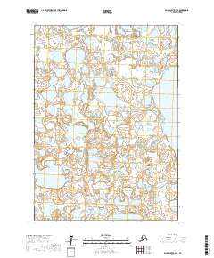
Nunachuk stands as a focal point of human settlement on this vast wetland landscape within the Bethel Census Area of Alaska. This survey, based on imagery from 2011 and data updated through 2017, illustrates a complex hydrology dominated by the waters of Kayigyalik Lake in the northeastern quadrant. The terrain is characterized by a dense network of ponds, marshes, and interconnected waterways that define the northern reaches of the Yukon-Kuskokwim Delta. The map's grid system, including townships like t10n r75w and t11n r76w, provides a structural reference for a wilderness area where natural water boundaries shift and reconfigure the land. This cartographic study is essential for understanding the remote geography of southwestern Alaska before further environmental changes impact the region's unique coastal plains.
Find a feature on this map
8 named features on this map. Tap any name to fly to it.
Don’t see what you’re looking for? This feature index may not catch every label — zoom into the map to look around manually.
Map Details
Editions of this 2017 Baird Inlet D-2 NW Map
This is the sole edition of this map. No revisions or reprints were ever made.
Other maps of this area

1951 · Marshall
USGS Topo · 1:250,000

1951 · Baird Inlet
USGS Topo · 1:250,000

1954 · Marshall A-2
USGS Topo · 1:63,360

1954 · Marshall A-3
USGS Topo · 1:63,360

1954 · Marshall
USGS Topo · 1:250,000

1954 · Baird Inlet
USGS Topo · 1:250,000
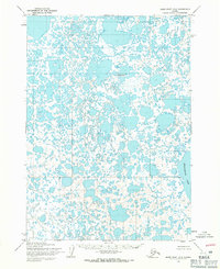
1954 · Baird Inlet D-3
USGS Topo · 1:63,360
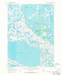
1954 · Baird Inlet D-2
USGS Topo · 1:63,360
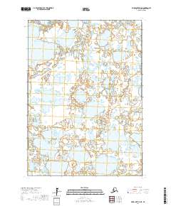
2017 · Baird Inlet D-3 NE
USGS Topo · 1:25,000
2017 · Baird Inlet D-3 SE
USGS Topo · 1:25,000