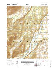
2015 Map of Baird Mountains A-2 SW
USGS Topo · Published 2015About this map
The Kobuk River flows through this corner of the Arctic, serving as a primary corridor through the wilderness within the Kobuk Valley National Park. This topographic study documents the drainage patterns and relief of a landscape defined by water and elevation, where the main river is fed by smaller tributaries such as Trinity Creek and Elaroniluk Cr. The map illustrates the transition from the broad river valley floor to higher ground, with precise contour lines marking the unnamed peaks and ridges that rise from the basin. The inclusion of township boundaries like t20n r6w and t19n r5w provides the legal framework used by the U.S. Geological Survey and Bureau of Land Management to manage these vast public lands in the Northwest Arctic Borough.
Find a feature on this map
9 named features on this map. Tap any name to fly to it.
Don’t see what you’re looking for? This feature index may not catch every label — zoom into the map to look around manually.
Map Details
Editions of this 2015 Baird Mountains A-2 SW Map
This is the sole edition of this map. No revisions or reprints were ever made.
Other maps of this area

1951 · Baird Mountains
USGS Topo · 1:250,000

1951 · Selawik
USGS Topo · 1:250,000

1955 · Selawik D-2
USGS Topo · 1:63,360

1955 · Baird Mountains A-2
USGS Topo · 1:63,360

1955 · Selawik D-3
USGS Topo · 1:63,360

1955 · Baird Mountains A-3
USGS Topo · 1:63,360

1956 · Baird Mountains
USGS Topo · 1:250,000

1957 · Selawik
USGS Topo · 1:250,000

1965 · Baird Mountains
USGS Topo · 1:250,000
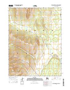
2015 · Baird Mountains A-2 NW
USGS Topo · 1:25,000