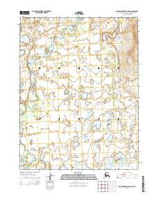
2015 Map of Baird Mountains A-4 NW
USGS Topo · Published 2015About this map
The Omar River and Squirrel River dominate this Alaskan landscape in the Northwest Arctic Borough, where a complex network of seasonal waterways and glacial drainage patterns define the terrain. The northern reaches of the map are marked by the broad, meandering path of the Omar River, while the southern portion is characterized by the confluence of Kagbooc Creek and the larger Squirrel River. These water systems create a mosaic of wetlands and small lakes that are characteristic of the region's arctic lowlands. Towards the eastern edge, Timber Creek flows through a series of subtle topographic elevations. This map captures a remote wilderness area without established roads or settlements, reflecting the vast, untouched nature of the Alaskan interior at the start of the twenty-first century.
Find a feature on this map
9 named features on this map. Tap any name to fly to it.
Don’t see what you’re looking for? This feature index may not catch every label — zoom into the map to look around manually.
Map Details
Editions of this 2015 Baird Mountains A-4 NW Map
This is the sole edition of this map. No revisions or reprints were ever made.
Other maps of this area

1951 · Baird Mountains
USGS Topo · 1:250,000
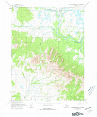
1955 · Baird Mountains A-5
USGS Topo · 1:63,360
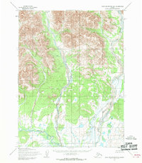
1955 · Baird Mountains B-5
USGS Topo · 1:63,360
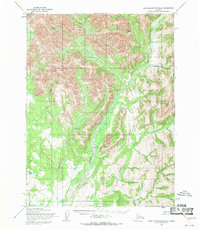
1955 · Baird Mountains B-4
USGS Topo · 1:63,360

1955 · Baird Mountains A-4
USGS Topo · 1:63,360

1956 · Baird Mountains
USGS Topo · 1:250,000

1965 · Baird Mountains
USGS Topo · 1:250,000
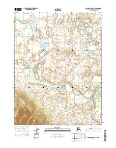
2014 · Baird Mountains A-5 NE
USGS Topo · 1:25,000
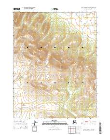
2014 · Baird Mountains A-5 SE
USGS Topo · 1:25,000
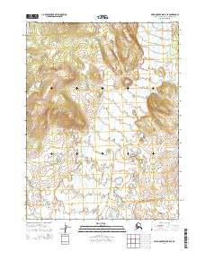
2014 · Baird Mountains B-5 SE
USGS Topo · 1:25,000