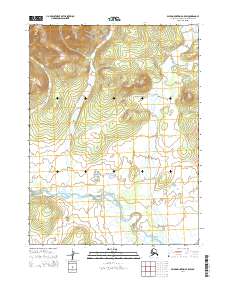
2014 Map of Baird Mountains B-5 SW
USGS Topo · Published 2014About this map
The Squirrel River meanders across this northern landscape within the t21n r12w and t22n r12w township divisions. The watercourse dominates the southern and central sections of the sheet, characterized by broad, low-lying drainage patterns that suggest a complex seasonal floodplain.
Find a feature on this map
7 named features on this map. Tap any name to fly to it.
Don’t see what you’re looking for? This feature index may not catch every label — zoom into the map to look around manually.
Map Details
Editions of this 2014 Baird Mountains B-5 SW Map
This is the sole edition of this map. No revisions or reprints were ever made.
Other maps of this area

1951 · Baird Mountains
USGS Topo · 1:250,000
1955 · Baird Mountains A-5
USGS Topo · 1:63,360
1955 · Baird Mountains A-6
USGS Topo · 1:63,360
1955 · Baird Mountains B-6
USGS Topo · 1:63,360
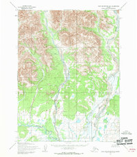
1955 · Baird Mountains B-5
USGS Topo · 1:63,360

1956 · Baird Mountains
USGS Topo · 1:250,000

1965 · Baird Mountains
USGS Topo · 1:250,000
2014 · Baird Mountains A-6 NE
USGS Topo · 1:25,000
2014 · Baird Mountains B-5 NE
USGS Topo · 1:25,000
2014 · Baird Mountains A-5 NW
USGS Topo · 1:25,000