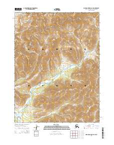
2015 Map of Baird Mountains B-6 NE
USGS Topo · Published 2015About this map
The Baird Mountains rise across this remote landscape in the Northwest Arctic, where the terrain is largely protected as part of the Noatak National Preserve. This 2015 study by the U.S. Geological Survey details the high-elevation drainage systems and steep topography of the region. The map provides a precise look at the township and range divisions, including t24n r14w, showing the survey grid as it applies to these vast protected lands. This map is particularly useful for those studying modern wilderness conservation boundaries or the physical geography of the Alaskan interior.
Find a feature on this map
6 named features on this map. Tap any name to fly to it.
Don’t see what you’re looking for? This feature index may not catch every label — zoom into the map to look around manually.
Map Details
Editions of this 2015 Baird Mountains B-6 NE Map
This is the sole edition of this map. No revisions or reprints were ever made.
Other maps of this area

1951 · Baird Mountains
USGS Topo · 1:250,000
1955 · Baird Mountains C-5
USGS Topo · 1:63,360
1955 · Baird Mountains B-6
USGS Topo · 1:63,360
1955 · Baird Mountains C-6
USGS Topo · 1:63,360
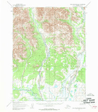
1955 · Baird Mountains B-5
USGS Topo · 1:63,360

1956 · Baird Mountains
USGS Topo · 1:250,000

1965 · Baird Mountains
USGS Topo · 1:250,000
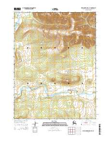
2014 · Baird Mountains B-6 SE
USGS Topo · 1:25,000
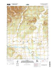
2014 · Baird Mountains B-5 SW
USGS Topo · 1:25,000
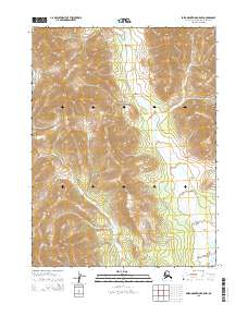
2015 · Baird Mountains B-5 NW
USGS Topo · 1:25,000