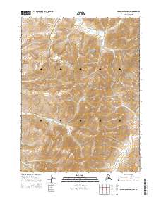
2015 Map of Baird Mountains C-3 SW
USGS Topo · Published 2015About this map
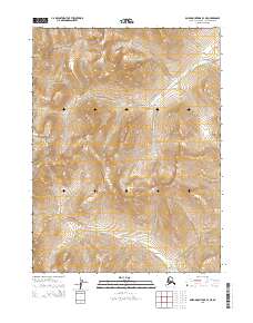
Noatak National Preserve and Kobuk Valley National Park meet in this high-latitude terrain, where the boundary between these protected lands cuts across a landscape defined by significant elevation changes. The drainage patterns of the region are shaped by Nakolikurok Creek, which flows through the northern reaches, and the winding course of Tukpahlearik Cr to the south. This 2015 survey illustrates a wilderness nearly untouched by permanent infrastructure, highlighting the transition between the two vast parklands. The topography is marked by steep ridges and deep valleys, providing a clear picture of the hydrological divide within the Northwest Arctic Borough. The absence of roads or settlements emphasizes the remote character of this Arctic interior during the early twenty-first century.
Find a feature on this map
11 named features on this map. Tap any name to fly to it.
Don’t see what you’re looking for? This feature index may not catch every label — zoom into the map to look around manually.
Map Details
Editions of this 2015 Baird Mountains C-3 SW Map
This is the sole edition of this map. No revisions or reprints were ever made.
Other maps of this area

1951 · Baird Mountains
USGS Topo · 1:250,000

1955 · Baird Mountains C-4
USGS Topo · 1:63,360

1955 · Baird Mountains B-3
USGS Topo · 1:63,360
1955 · Baird Mountains B-4
USGS Topo · 1:63,360

1955 · Baird Mountains C-3
USGS Topo · 1:63,360

1956 · Baird Mountains
USGS Topo · 1:250,000

1965 · Baird Mountains
USGS Topo · 1:250,000
2015 · Baird Mountains B-4 NE
USGS Topo · 1:25,000
2015 · Baird Mountains C-3 NE
USGS Topo · 1:25,000
2015 · Baird Mountains B-3 NE
USGS Topo · 1:25,000