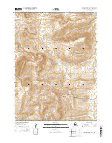
2015 Map of Baird Mountains C-4 NE
USGS Topo · Published 2015About this map
Noatak National Preserve encompasses the vast majority of this interior landscape, preserving a wilderness where natural drainage patterns define the geography. The southern reaches are marked by the winding course of the Omar River, which cuts through the mountainous terrain. In the northeast, the headwaters of Nakolikurak Creek flow through the high country, illustrating the watershed divisions of the Alaska-Northwest Arctic Borough. This 2015 survey provides a precise look at the township and range lines across t27n r9w, t27n r8w, t26n r9w, and t26n r8w, detailing a region where human infrastructure is absent, leaving only the primary watercourses to serve as landmarks for navigation and land management.
Find a feature on this map
8 named features on this map. Tap any name to fly to it.
Don’t see what you’re looking for? This feature index may not catch every label — zoom into the map to look around manually.
Map Details
Editions of this 2015 Baird Mountains C-4 NE Map
This is the sole edition of this map. No revisions or reprints were ever made.
Other maps of this area

1951 · Baird Mountains
USGS Topo · 1:250,000

1955 · Baird Mountains D-4
USGS Topo · 1:63,360

1955 · Baird Mountains D-3
USGS Topo · 1:63,360

1955 · Baird Mountains C-4
USGS Topo · 1:63,360

1955 · Baird Mountains C-3
USGS Topo · 1:63,360

1956 · Baird Mountains
USGS Topo · 1:250,000

1965 · Baird Mountains
USGS Topo · 1:250,000
2014 · Baird Mountains C-4 SW
USGS Topo · 1:25,000
2014 · Baird Mountains D-4 SW
USGS Topo · 1:25,000
2014 · Baird Mountains C-4 NW
USGS Topo · 1:25,000