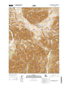
2014 Map of Baird Mountains C-4 SW
USGS Topo · Published 2014About this map
Noatak National Preserve encompasses much of this high-latitude terrain, where the northernmost reaches of the Baird Mountains define the physical geography. The landscape is marked by extreme elevation changes and sharp ridgelines that channel the N Fork Squirrel River through the western portion of the quadrangle. As a modern survey from 2014, this document illustrates the pristine state of the Alaskan interior within the Northwest Arctic, emphasizing the natural drainage patterns and the complex topography of the Brooks Range foothills. The absence of roads or human settlements underscores the character of this protected wilderness, where the Noatak National Preserve boundary winds across the mountain peaks to separate distinct ecological zones.
Find a feature on this map
9 named features on this map. Tap any name to fly to it.
Don’t see what you’re looking for? This feature index may not catch every label — zoom into the map to look around manually.
Map Details
Editions of this 2014 Baird Mountains C-4 SW Map
This is the sole edition of this map. No revisions or reprints were ever made.
Other maps of this area

1951 · Baird Mountains
USGS Topo · 1:250,000

1955 · Baird Mountains C-4
USGS Topo · 1:63,360
1955 · Baird Mountains C-5
USGS Topo · 1:63,360
1955 · Baird Mountains B-5
USGS Topo · 1:63,360
1955 · Baird Mountains B-4
USGS Topo · 1:63,360

1956 · Baird Mountains
USGS Topo · 1:250,000

1965 · Baird Mountains
USGS Topo · 1:250,000
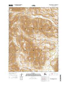
2014 · Baird Mountains C-5 SE
USGS Topo · 1:25,000
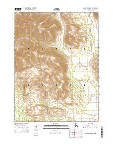
2014 · Baird Mountains B-5 NE
USGS Topo · 1:25,000
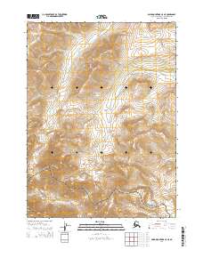
2014 · Baird Mountains C-5 NE
USGS Topo · 1:25,000