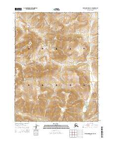
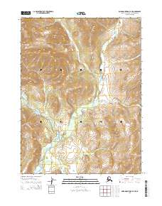
2015 Map of Baird Mountains C-4 SE
USGS Topo · Published 2015About this map
Noatak National Preserve encompasses the majority of this landscape, protecting a significant corridor of the Alaskan wilderness. The terrain is defined by the winding course of the Omar River, which snakes through the eastern portion of the quadrangle, serving as a primary hydrological feature in this high-latitude environment. The map captures the intricate topographic contours of the Baird Mountains region, illustrating the steep elevation changes and drainage patterns that characterize this remote subarctic territory. Surveyed in the early twenty-first century, this data provides a precise record of the natural boundaries and watercourses within the preserve, highlighting the preservation of the Omar River watershed. The absence of human-built infrastructure or named settlements emphasizes the character of the region as a protected ecological sanctuary.
Find a feature on this map
8 named features on this map. Tap any name to fly to it.
Don’t see what you’re looking for? This feature index may not catch every label — zoom into the map to look around manually.
Map Details
Editions of this 2015 Baird Mountains C-4 SE Map
This is the sole edition of this map. No revisions or reprints were ever made.
Other maps of this area

1951 · Baird Mountains
USGS Topo · 1:250,000

1955 · Baird Mountains C-4
USGS Topo · 1:63,360

1955 · Baird Mountains B-3
USGS Topo · 1:63,360
1955 · Baird Mountains B-4
USGS Topo · 1:63,360

1955 · Baird Mountains C-3
USGS Topo · 1:63,360

1956 · Baird Mountains
USGS Topo · 1:250,000

1965 · Baird Mountains
USGS Topo · 1:250,000
2014 · Baird Mountains C-4 SW
USGS Topo · 1:25,000
2014 · Baird Mountains C-4 NW
USGS Topo · 1:25,000
2015 · Baird Mountains B-4 NE
USGS Topo · 1:25,000