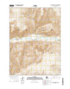
2015 Map of Baird Mountains D-2 NE
USGS Topo · Published 2015About this map
Noatak National Preserve encompasses the central portion of this wilderness landscape, where the meandering course of Aklumayuak Creek threads through a wide valley floor. The terrain is defined by dramatic elevation changes, with ridges rising steeply from the water to heights exceeding 2,400 feet. This 2015 survey reflects a landscape largely defined by natural topography and protected federal boundaries, devoid of permanent settlements or modern road infrastructure. The map provides clear evidence of the complex braided drainage patterns and high-latitude landforms that characterize this remote section of the Northwest Arctic. Surveyed boundaries for t30n r5w, t30n r4w, t29n r5w, and t29n r4w provide a precise grid over the varied mountain slopes and creek basins.
Find a feature on this map
6 named features on this map. Tap any name to fly to it.
Don’t see what you’re looking for? This feature index may not catch every label — zoom into the map to look around manually.
Map Details
Editions of this 2015 Baird Mountains D-2 NE Map
This is the sole edition of this map. No revisions or reprints were ever made.
Other maps of this area

1951 · Baird Mountains
USGS Topo · 1:250,000

1951 · Misheguk Mountain
USGS Topo · 1:250,000

1956 · Misheguk Mountain
USGS Topo · 1:250,000

1956 · Baird Mountains
USGS Topo · 1:250,000

1965 · Baird Mountains
USGS Topo · 1:250,000
1990 · Misheguk Mountain A-2
USGS Topo · 1:63,360
1990 · Misheguk Mountain A-1
USGS Topo · 1:63,360
1990 · Baird Mountains D-1
USGS Topo · 1:63,360
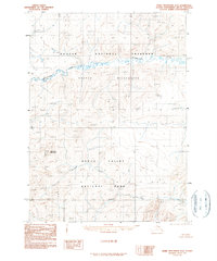
1990 · Baird Mountains D-2
USGS Topo · 1:63,360
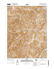
2015 · Baird Mountains D-2 SW
USGS Topo · 1:25,000