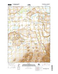
2015 Map of Baird Mountains D-6 NW
USGS Topo · Published 2015About this map
Noatak National Preserve encompasses this vast subarctic landscape where the Noatak River transitions through the dramatic Noatak Canyon. The map reveals a complex drainage network where the Kungiakrok River and Kungiakrok Cr flow southward through a series of kettle lakes, including Lake Mapsa and the larger Lake Narvakrak. This 2015 survey illustrates the undisturbed character of the Northwest Arctic, where the terrain is defined by river meanders and high-altitude relief. The absence of permanent roads or settlements highlights the isolation of this protected corridor, which serves as a vital hydrological system within the Alaskan wilderness. Researchers can trace the varied flow of Kivivik Cr as it traverses the southern portions of the quadrangle near the preserve's interior boundary.
Find a feature on this map
12 named features on this map. Tap any name to fly to it.
Don’t see what you’re looking for? This feature index may not catch every label — zoom into the map to look around manually.
Map Details
Editions of this 2015 Baird Mountains D-6 NW Map
This is the sole edition of this map. No revisions or reprints were ever made.
Other maps of this area

1951 · De Long Mountains
USGS Topo · 1:250,000

1951 · Baird Mountains
USGS Topo · 1:250,000

1951 · Noatak
USGS Topo · 1:250,000

1951 · Misheguk Mountain
USGS Topo · 1:250,000

1955 · Noatak
USGS Topo · 1:250,000

1955 · De Long Mountains
USGS Topo · 1:250,000

1955 · Noatak D-1
USGS Topo · 1:63,360

1955 · Baird Mountains D-6
USGS Topo · 1:63,360

1955 · Misheguk Mountain A-5
USGS Topo · 1:63,360

1955 · De Long Mountains A-1
USGS Topo · 1:63,360