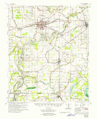
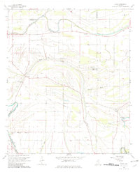
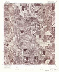
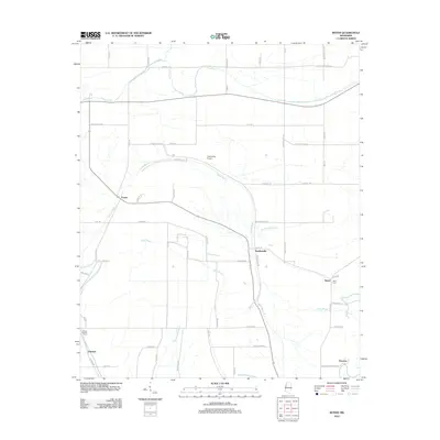
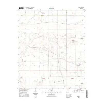
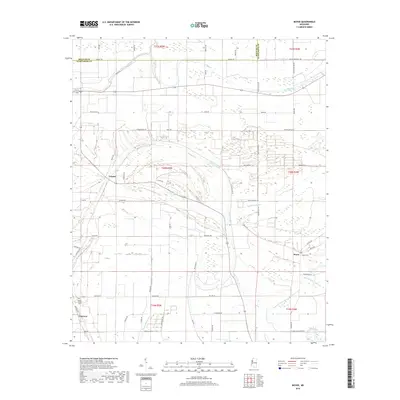
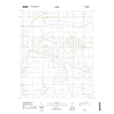
1967 Map of Baird
USGS Topo · Published 1967About this map
Indianola serves as a central hub in this mid-century portrait of the Mississippi Delta, where the intersection of the Illinois Central Railroad and the Columbus and Greenville Railway dictated the growth of nearby Moorhead and Baird. The landscape is defined by the winding course of the Sunflower River and numerous oxbow lakes and brakes, including Jenkins Brake and Dabney Brake. A distinct agrarian pattern is evident through the labeling of established tracts such as Woodburn Plantation and Sycamore Plantation.
Find a feature on this map
139 named features on this map. Tap any name to fly to it.
Don’t see what you’re looking for? This feature index may not catch every label — zoom into the map to look around manually.
Map Details
Editions of this 1967 Baird Map
This is the sole edition of this map. No revisions or reprints were ever made.
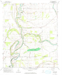
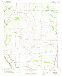
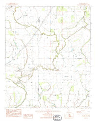
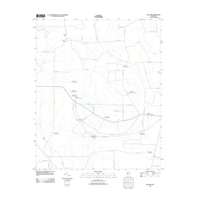
Historical Maps of Indianola Through Time
27 maps found
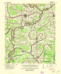
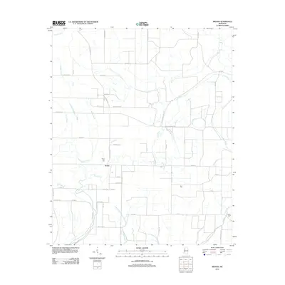
1940 Baird
Sunflower County, MS
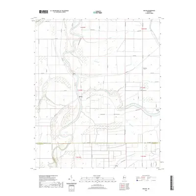
1965 Kinlock
Sunflower County, MS
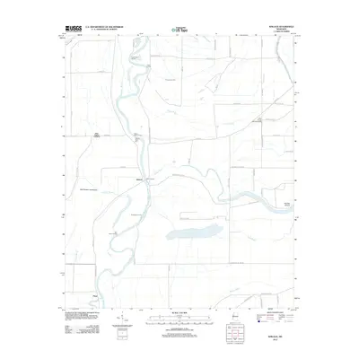
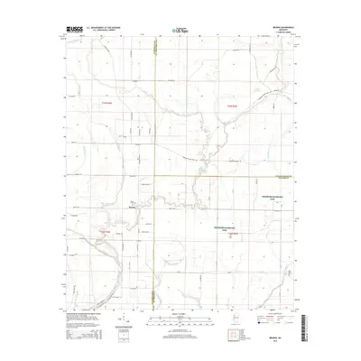
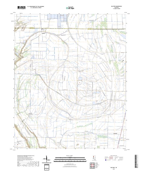
1966 Baltzer
Sunflower County, MS
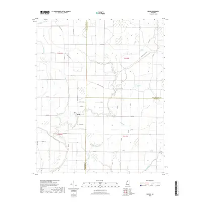
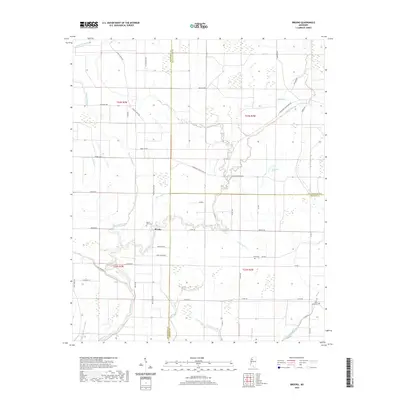
1967 Baird
Sunflower County, MS
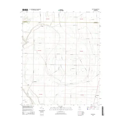
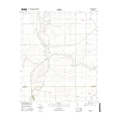
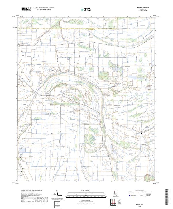
1967 Boyer
Sunflower County, MS
1974 Sumner SW
Sunflower County, MS
1983 Brooks
Sunflower County, MS
2012 Baltzer
Sunflower County, MS
2012 Boyer
Sunflower County, MS
2012 Brooks
Sunflower County, MS
2012 Kinlock
Sunflower County, MS
2015 Baltzer
Sunflower County, MS
2015 Boyer
Sunflower County, MS
2015 Brooks
Sunflower County, MS
2015 Kinlock
Sunflower County, MS
2018 Baltzer
Sunflower County, MS
2018 Boyer
Sunflower County, MS
2018 Brooks
Sunflower County, MS
2018 Kinlock
Sunflower County, MS
2020 Baltzer
Sunflower County, MS
2020 Boyer
Sunflower County, MS
2020 Brooks
Sunflower County, MS
2020 Kinlock
Sunflower County, MS
2024 Baltzer
Sunflower County, MS
2024 Boyer
Sunflower County, MS
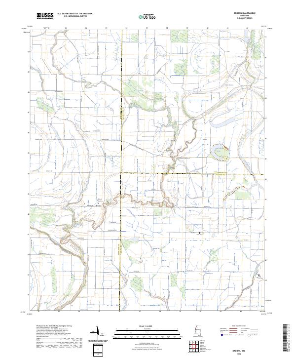
2024 Brooks
Sunflower County, MS
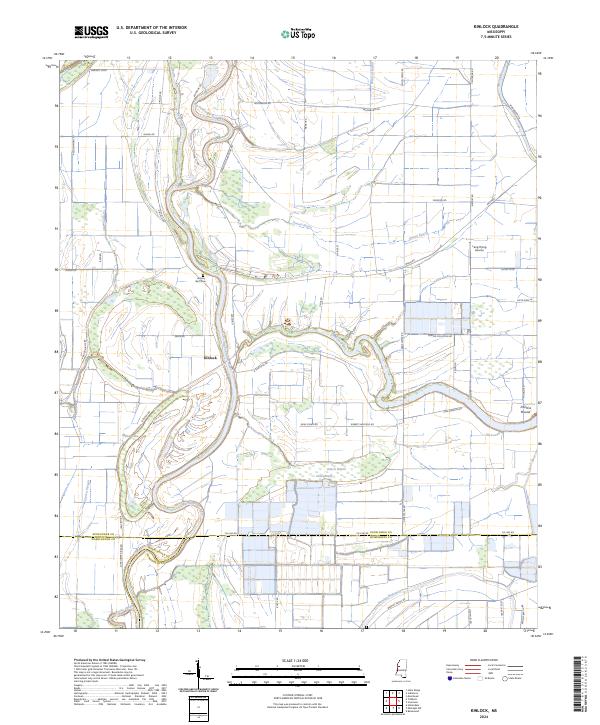
2024 Kinlock
Sunflower County, MS