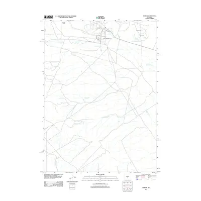
2012 Map of Bairoil
USGS Topo · Published 2012About this map
The Lost Soldier Oil Field and Wertz Oil Field dominate this portion of the Red Desert, illustrating the industrial footprint of energy extraction in south-central Wyoming. The town of Bairoil serves as the hub for these operations, with residential and support infrastructure evidenced by South Camp and Wertz Camp. Local street names like Bitterroot Dr and Indian Paintbrush Ave reflect the native flora of this high-desert environment.
Find a feature on this map
21 named features on this map. Tap any name to fly to it.
Don’t see what you’re looking for? This feature index may not catch every label — zoom into the map to look around manually.
Map Details
Editions of this 2012 Bairoil Map
This is the sole edition of this map. No revisions or reprints were ever made.
Other maps of this area
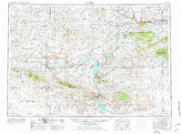
1955 · Casper
USGS Topo · 1:250,000
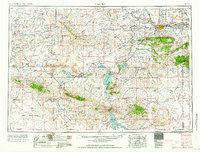
1958 · Casper
USGS Topo · 1:250,000
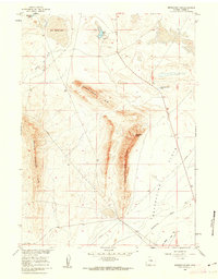
1960 · Separation Rim
USGS Topo · 1:24,000
1960 · Bull Springs
USGS Topo · 1:24,000
1960 · Chicken Spring
USGS Topo · 1:24,000
1961 · Lamont
USGS Topo · 1:24,000
1961 · Hadsell Spring
USGS Topo · 1:24,000
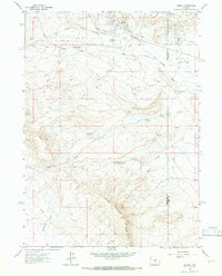
1961 · Bairoil
USGS Topo · 1:24,000
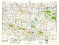
1962 · Casper
USGS Topo · 1:250,000
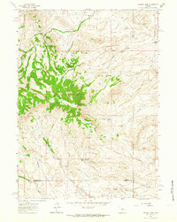
1962 · Whiskey Peak
USGS Topo · 1:24,000