
1962 Map of Whiskey Peak
USGS Topo · Published 1964About this map
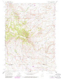
Whiskey Peak dominates this high-elevation landscape in the Green Mountains, where the 1962 terrain reveals a mix of ranching legacy and emerging industrial use. The map documents the high-desert character of the Whiskey Ridge area, featuring several family-named landmarks such as Diamond Hook Ranch and the Stratton Ranch. Of particular interest to local historians is the Joe Wimmer Homestead (Aband), noted here as an abandoned site near the headwaters of Big Camp Creek.
Find a feature on this map
30 named features on this map. Tap any name to fly to it.
Don’t see what you’re looking for? This feature index may not catch every label — zoom into the map to look around manually.
Map Details
Editions of this 1962 Whiskey Peak Map
2 editions found
Other maps of this area

1951 · Bucklin Reservoirs
USGS Topo · 1:24,000

1951 · Split Rock
USGS Topo · 1:24,000

1951 · Split Rock NW
USGS Topo · 1:24,000

1955 · Casper
USGS Topo · 1:250,000

1958 · Casper
USGS Topo · 1:250,000

1961 · Lamont
USGS Topo · 1:24,000

1961 · Hadsell Spring
USGS Topo · 1:24,000

1961 · Bairoil
USGS Topo · 1:24,000

1962 · Casper
USGS Topo · 1:250,000
1962 · Sagebrush Park
USGS Topo · 1:24,000