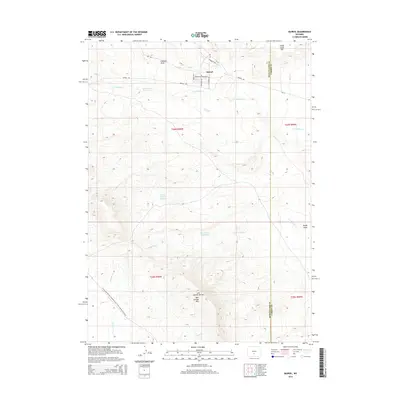
2015 Map of Bairoil
USGS Topo · Published 2015About this map
Bairoil serves as the primary hub of this high-desert landscape on the border of Sweetwater and Carbon counties. The town's grid is defined by streets named for desert flora, including Indian Paintbrush Ave, Bitterroot Dr, and Primrose Ave, situated just north of the Lost Soldier Cr drainage. Water management is a defining characteristic of the local geography, evidenced by a series of catchments such as Lost Soldier Reservoir, White Water Reservoir, and Iron Springs Reservoir. To the south, the terrain rises toward the Lost Soldier Divide and the Bull Springs Rim. Hikers and outdoor researchers can trace the Continental Divide National Scenic Trail, which cuts across the southwestern corner of the quadrangle through the drainages of Stewart Cr.
Find a feature on this map
28 named features on this map. Tap any name to fly to it.
Don’t see what you’re looking for? This feature index may not catch every label — zoom into the map to look around manually.
Map Details
Editions of this 2015 Bairoil Map
This is the sole edition of this map. No revisions or reprints were ever made.
Other maps of this area

1955 · Casper
USGS Topo · 1:250,000

1958 · Casper
USGS Topo · 1:250,000

1960 · Separation Rim
USGS Topo · 1:24,000

1960 · Bull Springs
USGS Topo · 1:24,000

1960 · Chicken Spring
USGS Topo · 1:24,000

1961 · Lamont
USGS Topo · 1:24,000

1961 · Hadsell Spring
USGS Topo · 1:24,000

1961 · Bairoil
USGS Topo · 1:24,000

1962 · Casper
USGS Topo · 1:250,000

1962 · Whiskey Peak
USGS Topo · 1:24,000