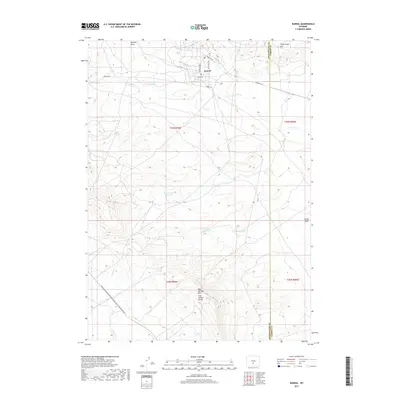
2017 Map of Bairoil
USGS Topo · Published 2017About this map
The town of Bairoil sits in the northern high desert of the Great Divide Basin, where its grid of streets including Primrose Ave and Bitterroot Dr meet against the backdrop of the Lost Soldier Divide. This 2017 survey documents a landscape of essential water management in an arid environment, featuring the Lost Soldier Reservoir, Iron Springs Reservoir, and White Water Reservoir. These catchments, along with ephemeral drainages like Laundry Draw and Reed Cr, highlight the geographical challenges of settlement in this part of Wyoming.
Find a feature on this map
26 named features on this map. Tap any name to fly to it.
Don’t see what you’re looking for? This feature index may not catch every label — zoom into the map to look around manually.
Map Details
Editions of this 2017 Bairoil Map
This is the sole edition of this map. No revisions or reprints were ever made.
Other maps of this area

1955 · Casper
USGS Topo · 1:250,000

1958 · Casper
USGS Topo · 1:250,000

1960 · Separation Rim
USGS Topo · 1:24,000

1960 · Bull Springs
USGS Topo · 1:24,000

1960 · Chicken Spring
USGS Topo · 1:24,000

1961 · Lamont
USGS Topo · 1:24,000

1961 · Hadsell Spring
USGS Topo · 1:24,000

1961 · Bairoil
USGS Topo · 1:24,000

1962 · Casper
USGS Topo · 1:250,000

1962 · Whiskey Peak
USGS Topo · 1:24,000