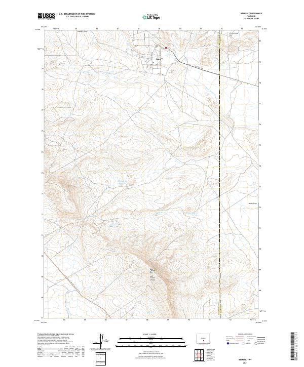
2021 Map of Bairoil
USGS Topo · Published 2021About this map
Bairoil serves as the primary center of activity in this high-altitude desert region, where the street grid includes local names like Iris Ave and Blue Bell Ave. The surrounding landscape is defined by its complex hydrology and watershed management, featuring several significant water bodies such as Lost Soldier Reservoir, White Water Reservoir, and Iron Springs Reservoir. The southwestern corner of the quadrangle is traversed by the Continental Divide National Scenic Trl, a major geographic and recreational corridor that follows the high ridges. Topographical features like Lost Soldier Divide and Bull Springs Rim illustrate the area's role as a drainage divide for several seasonal and perennial streams including Reed Cr, Lost Soldier Cr, and Iron Springs Cr. This map documents a high-plains environment where human infrastructure, including Bairoil Rd, is closely adapted to the significant relief of landmarks like Camp Creek Hill.
Find a feature on this map
26 named features on this map. Tap any name to fly to it.
Don’t see what you’re looking for? This feature index may not catch every label — zoom into the map to look around manually.
Map Details
Editions of this 2021 Bairoil Map
This is the sole edition of this map. No revisions or reprints were ever made.
Other maps of this area

1955 · Casper
USGS Topo · 1:250,000

1958 · Casper
USGS Topo · 1:250,000

1960 · Separation Rim
USGS Topo · 1:24,000

1960 · Bull Springs
USGS Topo · 1:24,000

1960 · Chicken Spring
USGS Topo · 1:24,000

1961 · Lamont
USGS Topo · 1:24,000

1961 · Hadsell Spring
USGS Topo · 1:24,000

1961 · Bairoil
USGS Topo · 1:24,000

1962 · Casper
USGS Topo · 1:250,000

1962 · Whiskey Peak
USGS Topo · 1:24,000