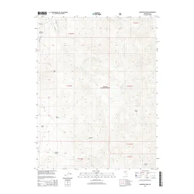
2014 Map of Bakeoven Creek
USGS Topo · Published 2014About this map
The Reese River system forms the primary drainage through this high-elevation landscape within the Toiyabe National Forest. This region is defined by the sharp verticality of the Shoshone Mountains, where peaks like Black Mtn and Mahogany Hill rise above deep-cut ravines. The map reveals a complex network of seasonal watercourses and springs, including Bakeoven Cr and the vital Ledbetter Spring, which have long been essential for land management in this arid portion of Nye County.
Find a feature on this map
29 named features on this map. Tap any name to fly to it.
Don’t see what you’re looking for? This feature index may not catch every label — zoom into the map to look around manually.
Map Details
Editions of this 2014 Bakeoven Creek Map
This is the sole edition of this map. No revisions or reprints were ever made.
Other maps of this area

1907 · Tonopah
USGS Topo · 1:250,000

1908 · Tonopah
USGS Topo · 1:250,000

1948 · Ione
USGS Topo · 1:62,500

1950 · Ione
USGS Topo · 1:62,500

1956 · Tonopah
USGS Topo · 1:250,000

1959 · Tonopah
USGS Topo · 1:250,000

1962 · Tonopah
USGS Topo · 1:250,000
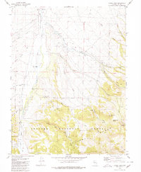
1979 · Corral Wash
USGS Topo · 1:24,000
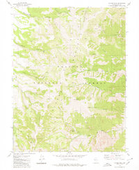
1979 · Toiyabe Peak
USGS Topo · 1:24,000
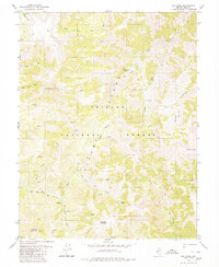
1980 · Arc Dome
USGS Topo · 1:24,000