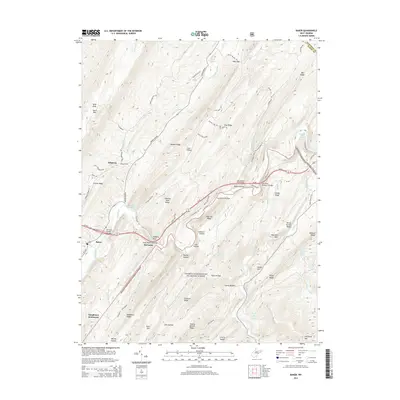
2014 Map of Baker
USGS Topo · Published 2014About this map
Lost River winds through this West Virginia valley, defining the settlement patterns of Baker and McCauley. The landscape is dominated by the steep parallel ridges of Short Mtn and Hanging Rock Ridge, which funnel local travel along corridors like Sperrys Run RD. Significant geological and historical features are scattered throughout the George Washington National Forest, including the high point at Bald Knob and various natural sources such as Baker Mine Spring and Miller Spring.
Find a feature on this map
87 named features on this map. Tap any name to fly to it.
Don’t see what you’re looking for? This feature index may not catch every label — zoom into the map to look around manually.
Map Details
Editions of this 2014 Baker Map
This is the sole edition of this map. No revisions or reprints were ever made.
Other maps of this area

1891 · Romney
USGS Topo · 1:125,000

1892 · Woodstock
USGS Topo · 1:125,000

1920 · Moorefield
USGS Topo · 1:62,500

1921 · Orkney Springs
USGS Topo · 1:48,000

1921 · Moorefield
USGS Topo · 1:48,000

1922 · Moorefield
USGS Topo · 1:62,500

1922 · Wardensville
USGS Topo · 1:62,500

1923 · Orkney Springs
USGS Topo · 1:62,500

1923 · Edinburg
USGS Topo · 1:62,500

1924 · Wardensville
USGS Topo · 1:62,500