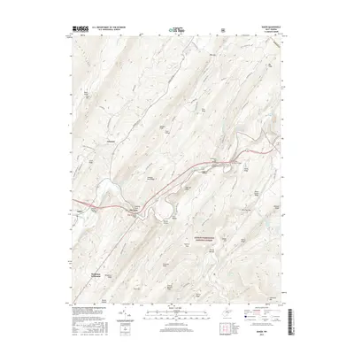
2016 Map of Baker
USGS Topo · Published 2016About this map
Baughman Settlement and the small community of McCauley sit amidst the ridges of Hardy County, where the topography is defined by the winding course of the Lost River. The 2016 landscape is characterized by a series of parallel ridges including Pine Ridge, Sandy Ridge, and Devils Garden Ridge, which shelter narrow valleys and seasonal water sources. Local history is preserved in the naming of several mountain springs, such as Baker Mine Spring, Reed Farm Spring, and Winfred Tharp Spring, indicating the long-standing agricultural and resource-extraction roots of the region. Much of the eastern portion of this quadrangle is protected within the George Washington National Forest, where the terrain rises toward Halfmoon Mtn. Key infrastructure connects these isolated settlements, notably the Rudy Memorial Bridge and the Lost River Number 3 Bridge along the corridor of Old State Rte 55.
Find a feature on this map
80 named features on this map. Tap any name to fly to it.
Don’t see what you’re looking for? This feature index may not catch every label — zoom into the map to look around manually.
Map Details
Editions of this 2016 Baker Map
This is the sole edition of this map. No revisions or reprints were ever made.
Other maps of this area

1891 · Romney
USGS Topo · 1:125,000

1892 · Woodstock
USGS Topo · 1:125,000

1920 · Moorefield
USGS Topo · 1:62,500

1921 · Orkney Springs
USGS Topo · 1:48,000

1921 · Moorefield
USGS Topo · 1:48,000

1922 · Moorefield
USGS Topo · 1:62,500

1922 · Wardensville
USGS Topo · 1:62,500

1923 · Orkney Springs
USGS Topo · 1:62,500

1923 · Edinburg
USGS Topo · 1:62,500

1924 · Wardensville
USGS Topo · 1:62,500