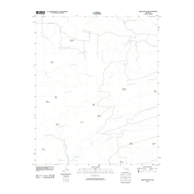
2010 Map of Baker Mountain
USGS Topo · Published 2010About this map
Baker Mountain and Buffalo Mountain anchor the southern elevations of this Latimer County landscape, where the terrain is defined by a series of prominent ridges and peaks. In this part of the Ouachita Mountains, drainage patterns are sharply dictated by the topography, with Buffalo Creek and Coopers Branch flowing through the southern valleys while North Gaines Creek and South Gaines Creek navigate the northern slopes. The map reveals a remote area with limited road infrastructure, primarily consisting of corridors like Bengal Rd and Laura McGee Rd that skirt the base of the mountains. Several distinctive landmarks provide points of interest for local history, including the curiously named Bear Suck Knob near Weber Mountain and Dripping Vat Mountain to the north. Smaller features such as Coopers Hollow and Baker Hollow indicate the localized family naming traditions common in this region of Oklahoma.
Find a feature on this map
29 named features on this map. Tap any name to fly to it.
Don’t see what you’re looking for? This feature index may not catch every label — zoom into the map to look around manually.
Map Details
Editions of this 2010 Baker Mountain Map
This is the sole edition of this map. No revisions or reprints were ever made.
Other maps of this area

1901 · Tuskahoma
USGS Topo · 1:125,000

1908 · Tuskahoma
USGS Topo · 1:125,000

1909 · Tuskahoma
USGS Topo · 1:125,000

1940 · Red Oak
USGS Topo · 1:62,500

1943 · Red Oak
USGS Topo · 1:62,500

1950 · Mcalester
USGS Topo · 1:250,000

1962 · McAlester
USGS Topo · 1:250,000

1965 · McAlester
USGS Topo · 1:250,000

1971 · Yanush
USGS Topo · 1:24,000

1971 · Kiamichi
USGS Topo · 1:24,000