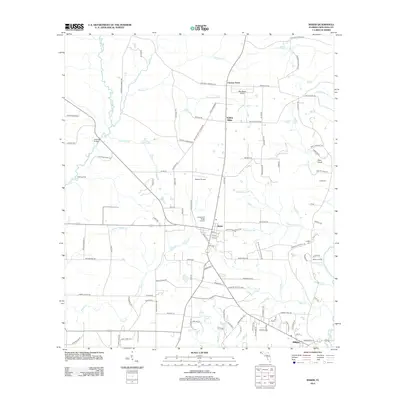
2012 Map of Baker
USGS Topo · Published 2012About this map
Baker stands at a central junction in Okaloosa County, serving as a hub for the surrounding rural landscape where small aviation strips like Dotson Airport and Lonesome Pines Airport are interspersed among the drainages of the Yellow River and Blackwater River. The settlement pattern follows established ridges and river crossings, evidenced by locations such as Cotton Bridge and Bluff Landing. Along the eastern edge, the river system creates distinctive terrain features like the Griffith Ferry Stretch, while localized family and community heritage is preserved at Cobb Cem and Griffith Cem. The southern reach of the survey includes the community of Milligan and the Baker Recreation Area, illustrating a mix of residential growth and timberland proximity. Numerous named branches, including Red Wash Br and Poplar Head Br, feed the primary river systems, defining the hydrological character of this Florida panhandle region.
Find a feature on this map
118 named features on this map. Tap any name to fly to it.
Don’t see what you’re looking for? This feature index may not catch every label — zoom into the map to look around manually.
Map Details
Editions of this 2012 Baker Map
This is the sole edition of this map. No revisions or reprints were ever made.
Other maps of this area

1934 · Holt
USGS Topo · 1:48,000

1934 · Harold
USGS Topo · 1:62,500

1937 · Holt
USGS Topo · 1:62,500

1937 · Harold
USGS Topo · 1:62,500

1938 · Harold
USGS Topo · 1:62,500

1948 · Munson
USGS Topo · 1:62,500

1949 · Crestview
USGS Topo · 1:62,500

1950 · Munson
USGS Topo · 1:62,500

1951 · Crestview
USGS Topo · 1:62,500

1956 · Holt
USGS Topo · 1:62,500