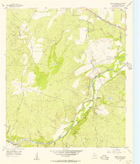
1955 Map of Baker Spring
USGS Topo · Published 1956About this map
The San Saba River carves a deep valley through this rural Texas landscape, anchoring a community defined by its water sources and ranching history in the mid-1950s. The presence of the Sloan Sisters Ranch and Sloan Sch suggests the local importance of the Sloan family name during this era. Nearby, spiritual and community life is marked by the Cumberland Ch and the New Hope Ch, both situated near the riverbanks.
Find a feature on this map
18 named features on this map. Tap any name to fly to it.
Don’t see what you’re looking for? This feature index may not catch every label — zoom into the map to look around manually.
Map Details
Editions of this 1955 Baker Spring Map
2 editions found
Other maps of this area

1885 · San Saba
USGS Topo · 1:125,000

1894 · Brady
USGS Topo · 1:125,000

1894 · San Saba
USGS Topo · 1:125,000

1928 · Mercury
USGS Topo · 1:62,500

1930 · Richland Springs
USGS Topo · 1:62,500

1948 · Richland Springs
USGS Topo · 1:62,500

1950 · Mercury
USGS Topo · 1:62,500
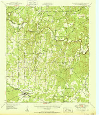
1950 · Richland Springs
USGS Topo · 1:62,500

1954 · Brownwood
USGS Topo · 1:250,000
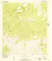
1955 · Buffalo Knob
USGS Topo · 1:24,000