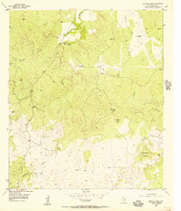
1955 Map of Buffalo Knob
USGS Topo · Published 1956About this map
Ranching and water management define this mid-century landscape in the Texas Hill Country. The terrain is characterized by complex drainage networks, where Wallace Creek and Latham Creek carve through the limestone topography toward the prominent height of Buffalo Knob. Settlement is sparse and focused on working lands like the Nored Ranch and the community at Woodward Grove, connected by a web of unimproved dirt tracks.
Find a feature on this map
15 named features on this map. Tap any name to fly to it.
Don’t see what you’re looking for? This feature index may not catch every label — zoom into the map to look around manually.
Map Details
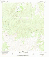
Editions of this 1955 Buffalo Knob Map
2 editions found
Other maps of this area

1885 · San Saba
USGS Topo · 1:125,000

1887 · Llano
USGS Topo · 1:125,000

1894 · San Saba
USGS Topo · 1:125,000

1894 · Llano
USGS Topo · 1:125,000

1904 · Llano
USGS Topo · 1:125,000

1909 · Llano
USGS Topo · 1:125,000

1918 · Llano
USGS Topo · 1:125,000

1931 · Bend
USGS Topo · 1:62,500

1954 · Brownwood
USGS Topo · 1:250,000

1954 · Llano
USGS Topo · 1:250,000