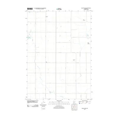
2010 Map of Balaton SW
USGS Topo · Published 2010About this map
Beaver Creek meanders through this portion of Murray County, defining a rural landscape dominated by a grid of agricultural section roads and drainage management. The presence of Bear Lakebed and Great Oasis Lakebed suggests a history of surface water transition, where former lake areas have been integrated into the surrounding prairie and farmland. The map reveals the infrastructure of a established farming community, from the Dairyview Airport to the systematic drainage of County Ditch Number Twenty. Local history is anchored by two significant sites: Ellsborough Cemetery in the north and Saint John's Cemetery further south. Near the western edge, Klinker Slough provides a point of natural relief amidst the productive fields and miles of gravel and paved routes like County Hwy-10 and County Hwy-12.
Find a feature on this map
27 named features on this map. Tap any name to fly to it.
Don’t see what you’re looking for? This feature index may not catch every label — zoom into the map to look around manually.
Map Details
Editions of this 2010 Balaton SW Map
This is the sole edition of this map. No revisions or reprints were ever made.
Other maps of this area

1953 · Watertown
USGS Topo · 1:250,000

1953 · New Ulm
USGS Topo · 1:250,000

1954 · Fairmont
USGS Topo · 1:250,000

1955 · Sioux Falls
USGS Topo · 1:250,000

1957 · New Ulm
USGS Topo · 1:250,000

1958 · New Ulm
USGS Topo · 1:250,000

1958 · Sioux Falls
USGS Topo · 1:250,000

1958 · Fairmont
USGS Topo · 1:250,000

1958 · Watertown
USGS Topo · 1:250,000

1967 · New Ulm
USGS Topo · 1:250,000