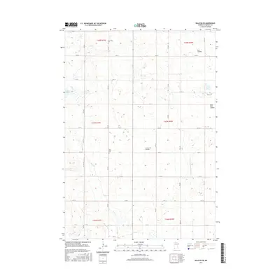
2016 Map of Balaton SW
USGS Topo · Published 2016About this map
The high glacial uplands of the Coteau des Prairies define the drainage and agricultural patterns of this Murray County landscape. This 2016 survey highlights the significant transformation of the local terrain, where expansive former water bodies are now identified as the Great Oasis Lakebed and Bear Lakebed. These areas, alongside Klinker Slough, suggest a history of varying water levels and subsequent drainage for cultivation. Local genealogy is anchored by the presence of Saint John's Cem and Ellsborough Cem, which serve as quiet markers of the farming communities that established the rigid grid of section roads like 191st St and 40th Ave. Water management remains a primary feature of the region, evidenced by the channelized Beaver Cr and the engineered County Ditch Number Twenty, both essential for maintaining the productivity of this prairie environment.
Find a feature on this map
35 named features on this map. Tap any name to fly to it.
Don’t see what you’re looking for? This feature index may not catch every label — zoom into the map to look around manually.
Map Details
Editions of this 2016 Balaton SW Map
This is the sole edition of this map. No revisions or reprints were ever made.
Other maps of this area

1953 · Watertown
USGS Topo · 1:250,000

1953 · New Ulm
USGS Topo · 1:250,000

1954 · Fairmont
USGS Topo · 1:250,000

1955 · Sioux Falls
USGS Topo · 1:250,000

1957 · New Ulm
USGS Topo · 1:250,000

1958 · New Ulm
USGS Topo · 1:250,000

1958 · Sioux Falls
USGS Topo · 1:250,000

1958 · Fairmont
USGS Topo · 1:250,000

1958 · Watertown
USGS Topo · 1:250,000

1967 · New Ulm
USGS Topo · 1:250,000