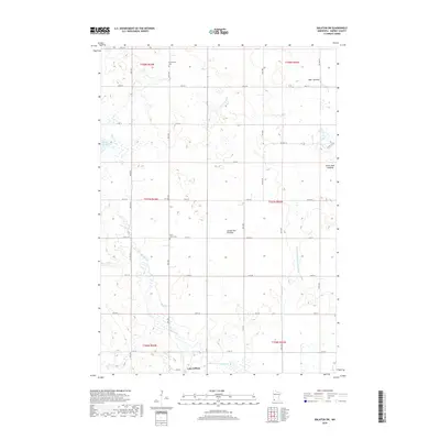
2019 Map of Balaton SW
USGS Topo · Published 2019About this map
The Coteau des Prairies upland dominates this southwestern Minnesota landscape, providing a high-elevation backdrop for the agricultural grid of Murray County. In the south, the village of Lake Wilson serves as the primary settlement, situated near the headwaters of regional drainage systems. The map reveals a transition in the local hydrology, most notably through the presence of the Great Oasis Lakebed and Bear Lakebed, which suggest the historical extent of water bodies now largely managed by agricultural drainage features like County Ditch Number Twenty. For genealogists and local historians, the sheet preserves the locations of rural landmarks such as Ellsborough Cem in the north and Saint John's Cem further south. The land is organized by a precise network of township and range lines, including t107n r43w and t107n r42w, which define the section-line roads connecting these prairie communities.
Find a feature on this map
35 named features on this map. Tap any name to fly to it.
Don’t see what you’re looking for? This feature index may not catch every label — zoom into the map to look around manually.
Map Details
Editions of this 2019 Balaton SW Map
This is the sole edition of this map. No revisions or reprints were ever made.
Other maps of this area

1953 · Watertown
USGS Topo · 1:250,000

1953 · New Ulm
USGS Topo · 1:250,000

1954 · Fairmont
USGS Topo · 1:250,000

1955 · Sioux Falls
USGS Topo · 1:250,000

1957 · New Ulm
USGS Topo · 1:250,000

1958 · New Ulm
USGS Topo · 1:250,000

1958 · Sioux Falls
USGS Topo · 1:250,000

1958 · Fairmont
USGS Topo · 1:250,000

1958 · Watertown
USGS Topo · 1:250,000

1967 · New Ulm
USGS Topo · 1:250,000